
 Yahoo News
 How Australia's bushfires spread: mapping the east coast fires
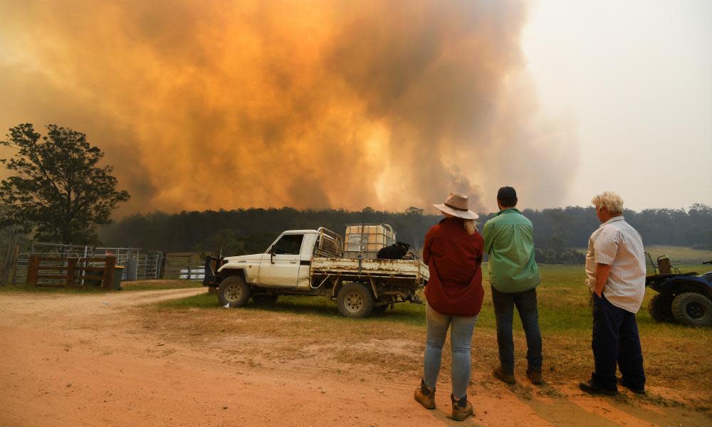
It has been a devastating fire season in Australia, with millions of hectares burned, lives lost and almost 2,000 properties destroyed.
Long-term drought conditions and record temperatures have combined with strong winds to create catastrophic fire conditions, resulting in widespread devastation in almost every state.
However, it is hard to grasp the geographic scale and speed with which the fires spread. For example, the Gospers Mountain fires north of Sydney have covered more than 1m hectares, and a record 4.9m hectares have been burnt in New South Wales this season so far.
Related: Australia records worst December fire conditions after its hottest, driest year
One way to visualise the extent and spread of the fires is by using satellite data. Nasa operates a hotspot detection program which identifies fires on a daily basis.
Here, we have animated the hotspots over time. It’s not exactly to scale, as the satellite detection has a resolution of 375m square, and the detection of fires can be obscured from satellites by smoke or clouds (this is particularly noticeable in the more recent fires on the NSW south coast and on Kangaroo Island in South Australia). Hotspots can also show up where there is no bushfire, but we’ve tried to filter these out where possible.
The circles fade to black over time to give an idea of the area burned, but it’s worth pointing out that it only covers fires within the time period shown, so the actual burned area will be greater than what is shown here, particularly in areas where fires have been burning on and off for months.
We’ve updated the animations below on 10 January to add fires on the south coast of NSW, eastern Victoria, and in the Snowy Mountains, as well as updating the Sydney region fires.
Sydney region, NSW
Showing the Gospers Mountain megafire north of Sydney, and fires in the Blue Mountains and western Sydney.
Shoalhaven area, NSW
Showing fires around Braidwood, Batemans Bay, Kangaroo Valley and other areas.
East Gippsland, Victoria
Showing fires across a large portion of East Gippsland in Victoria, which resulted in widespread evacuations.
Snowy mountains and south coast NSW
Showing fires encircling Batlow, and around Eden, near the NSW and Victorian border.
And here are the older animations which have not been updated:
Mid-north coast NSW
Showing the fires burning around coastal towns such as Port Macquarie and Forster, and fires burning further west closer to Tamworth.
Northern NSW and Queensland
Further north, bushfires encircled the region around Grafton, destroying homes and other properties in small towns such as Nymboida, Busbys Flat and Drake, where two people died in October.
Brisbane and Toowoomba regions, Queensland
In the area around Brisbane and Toowoomba, fire swept through the Pechey state forest, destroying homes in the town of Crows Nest. Bushfires also affected Moreton Island.

