
 Yahoo News
 Britain braces for Arctic winds and snow caused by Sudden Stratospheric Warming


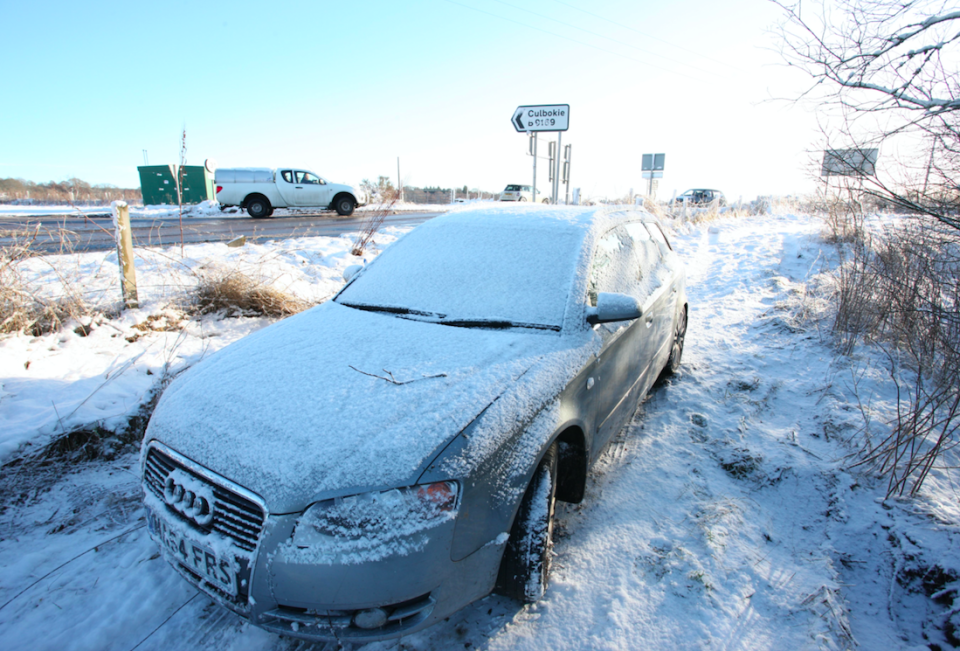
The UK is braced for more snow and Arctic winds as forecasters say it is about to feel the effects of a Sudden Stratospheric Warming.
The weekend’s high temperatures of 11C and 12C will be banished by the end of this week when it could drop as low as -4C.
While the phenomenon causes the polar vortex (a large area of cold air over the North Pole) to warm, it pushes cold winds across the north of Europe and the US.
When a Sudden Stratospheric Warming occurred in December 2010, temperatures plunged as low as -22C.
The recent Sudden Stratospheric Warming event above the North Pole could lead to prolonged cold conditions over the UK increasing the risk of easterly winds and snow https://t.co/AottfpTb2f pic.twitter.com/TYOy2SnNa5
— Met Office (@metoffice) February 16, 2018
Forecasters say the temperatures in the UK are expected to plummet later this week – ten days after the phenomenon occurred above the North Pole.
The Met Office said there is “increasing confidence” that the recent Sudden Stratospheric Warming above the North Pole could lead to “prolonged cold conditions over the UK, increasing the risk of easterly wind and significant snow”.
MOST POPULAR TODAY ON YAHOO UK
Brendan Cox: Husband of murdered MP quits charities after sexual assault allegations
KFC forced to close restaurants after running out of chicken
Kylie Minogue on split from fiance: My physical system was compromised
Teenager and grandfather died on level crossing on the way to football match
Homeless man who died outside parliament ‘had been deported twice from UK’
Prof Adam Scaife, of the Met Office Hadley Centre, said: “Signs of this event appeared in forecasts from late January and in the last few days we have seen a dramatic rise in air temperature, known as a Sudden Stratospheric Warming, at around 30km above the North Pole.
“This warming results from a breakdown of the usual high-altitude westerly winds and it often leads to a switch in our weather: with cold easterly conditions more likely to dominate subsequent UK weather.”
This week has kicked off to a mild start, but don't put your winter coats away just yet . It's turning colder with a widespread frost by Friday morning ❄️ pic.twitter.com/ez2XQmUoYg
— Met Office (@metoffice) February 19, 2018
Frank Saunders, Met Office chief operational meteorologist, said: “A Sudden Stratospheric Warming implies around a 70 per cent chance of cold conditions across the UK.
“There tends to be a lag of about 10 days before we see the downstream effects on the UK’s weather, as it takes time for the influence in the upper atmosphere to feed down to those levels where our weather happens.

“The outcome for the UK’s weather is still uncertain, but forecasts from computer models at the Met Office and at other centres are beginning to coalesce around a greater likelihood of cold conditions in the days and weeks to come.”
Temperatures will be as high as 14C in some parts of the west of Britain at the start of this week, but will soon give way to cold conditions.
Chief meteorologist Andy Page, said: “High pressure will become established across the UK by the middle of this week bringing settled weather for most, but also some frosty nights.
“However, as the high drifts east to be over Scandinavia by the weekend, it will allow colder air from Eastern Europe to be drawn towards us. The cold easterly wind will bring an element of wind chill which will make it feel colder in the south.”

