
 Yahoo News
 Cyclone Trevor barrels into Australia’s coast with 200kmh winds while second tropical storm begins to form

Tropical Cyclone Trevor is set to make a second landfall over northeastern Australia this weekend, after hitting the sparsely populated Cape York Peninsula in Queensland on Tuesday.
However, a separate tropical depression is also now forming off the Kimberly coast in the north-west of the country.
This tropical low is expected to track towards the southwest over the coming days, steadily intensifying and reaching tropical cyclone strength on Thursday.
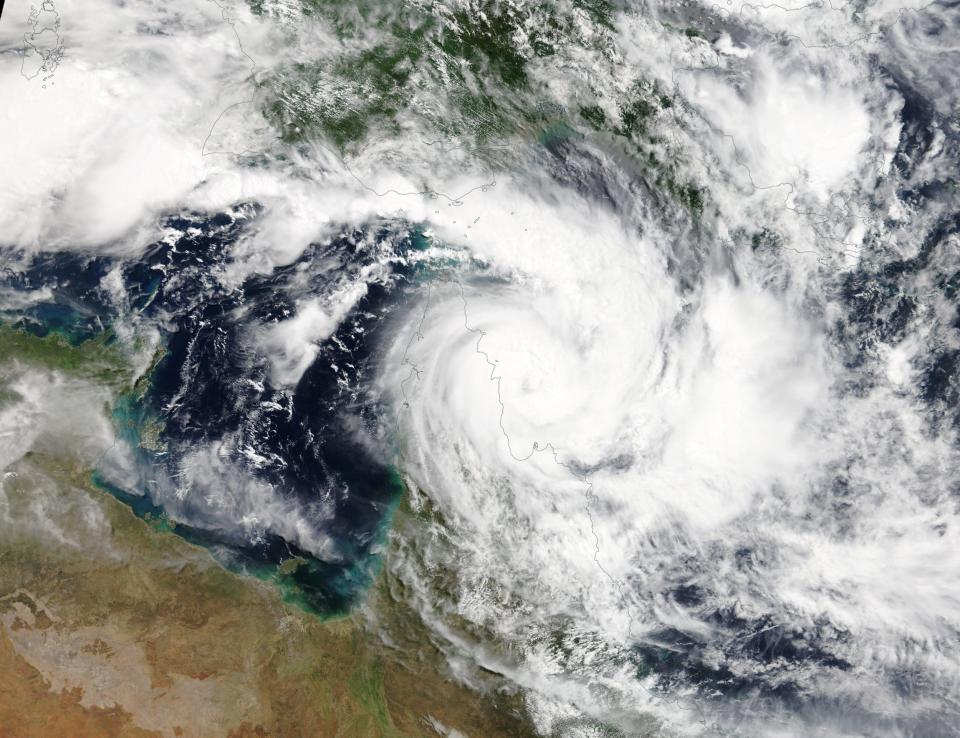
Tropical depression forming which is predicted to become an intense #cyclone and may affect north-western #Australia at the weekend or early next week. pic.twitter.com/wuPHhgIyje
— Met Office Storms (@metofficestorms)
There is uncertainty in the forecast track but there is potential for a severe tropical cyclone impact for the Pilbara coast over the weekend.
Cyclone Trevor’s very destructive core has already made landfall to the south of Lockhart River in Queensland with 220km gusts.
Winds up to 125km/h are set to hit the coast between Cape Grenville and the small Queensland town of Coen.
Storm tide, large waves, abnormally high tides, heavy rainfall and even flash flooding are also expected along the Queensland peninsula.
The storm will remain a category 1 cyclone and is likely to weaken as it moves west across the peninsula at eight km/h until Wednesday.
Severe #CycloneTrevor is a very strong system crossing near #LockhartRiver, with destructive to very destructive gusts up to 220km/hr possible! The crossing time is forecast about 4pm, when the eye of the storm is expected to cross the coast. Latest: https://t.co/cBZz3frFDu. pic.twitter.com/K6ll4RGClv
— Bureau of Meteorology, Queensland (@BOM_Qld)
However, it is expected to rapidly intensify in the Gulf of Carpentaria on Wednesday before tracking towards the Northern Territory.
Australia’s Bureau of Meteorology has warned residents to be prepared for flooding and take measures to protect their properties as much as possible.
The Bureau warned said: “People between Orford Ness and Cape Melville and adjacent inland areas (including Lockhart River and Coen), should remain in a safe place during the rest of the night.
“People in western Cape York Peninsula between Cape York and Pormpuraaw (including Weipa and Aurukun) should immediately commence or continue preparations, especially securing boats and property, using available daylight hours.”
