
 Yahoo News
 Digital map plots exact location of over 30,000 Luftwaffe attacks on the UK in WW2


Brits can now find out if Luftwaffe bombs fell near where they live with the help of a new interactive map.
Pinpointing where every bomb landed in the UK during the Second World War, the map allows users to search more than 32,000 locations that were attacked by the Nazis.
The ‘Bombing Britain’ air raid map uses wartime data from the National Archives to show where bombs landed - from the very first at the Firth of Forth in Scotland on October 16, 1939, to the final one on March 29, 1945 on the south east coast.


After zooming in on a particular location, users can also find out the official records for details of deaths, casualties and dates.
Dr Laura Blomvall, a researcher from the University of York who developed the map, said: "This map offers an astonishing insight into the extent and scale of total war.
"Bombing Britain allows us to visualise how bomb strikes affected the entire country - not just London and the South East - as bombs were dropped from the Orkney Islands to Coventry, from Liverpool to the Scilly Isles and from Dover to Swansea.
Read more from Yahoo News UK:
Extinction Rebellion protester dragged off Tube train by his feet by angry commuters
Archaeologists in Egypt discover 20 ancient coffins near Luxor
Brexit deal under threat as DUP say that cannot support proposals
"This unique research project shows how war was 'no longer confined to the battlefield'.
"The normalisation of aerial warfare turned mainland Britain into a violent battlefield, and the term 'home front' was no longer figurative.”
Dr George Hay, Military Historian at The National Archives, added: "The National Archives holds vast collections that tell the story of both the British and German strategic bombing campaigns of the Second World War.
"This interactive map makes use of the intelligence reports that followed German raids on the United Kingdom, and visually demonstrates the impact and reach of those attacks.
"This map will be a fantastic resource, not only for military and social historians, but for anyone interested in the impact of wartime air raids across the UK."
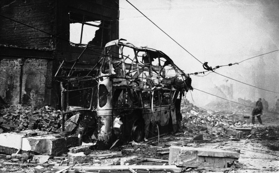
The Luftwaffe dropped more than 30,000 tonnes of bombs on the UK during the Blitz, which began on September 7, 1940.
Germany’s bombing campaign on London lasted 57 night in a row alone, while a total of 40,000 people were killed throughout the entire campaign.

