
 Yahoo News
 You can explore the ISS using Google Maps' Street View
One of humankind's greatest endeavours has been to leave planet Earth and explore the mystery of space. It's a feat that has involved the world's greatest minds and cutting-edge technology. But now you can explore a part of space for yourself – no spacecraft or genius IQ required.
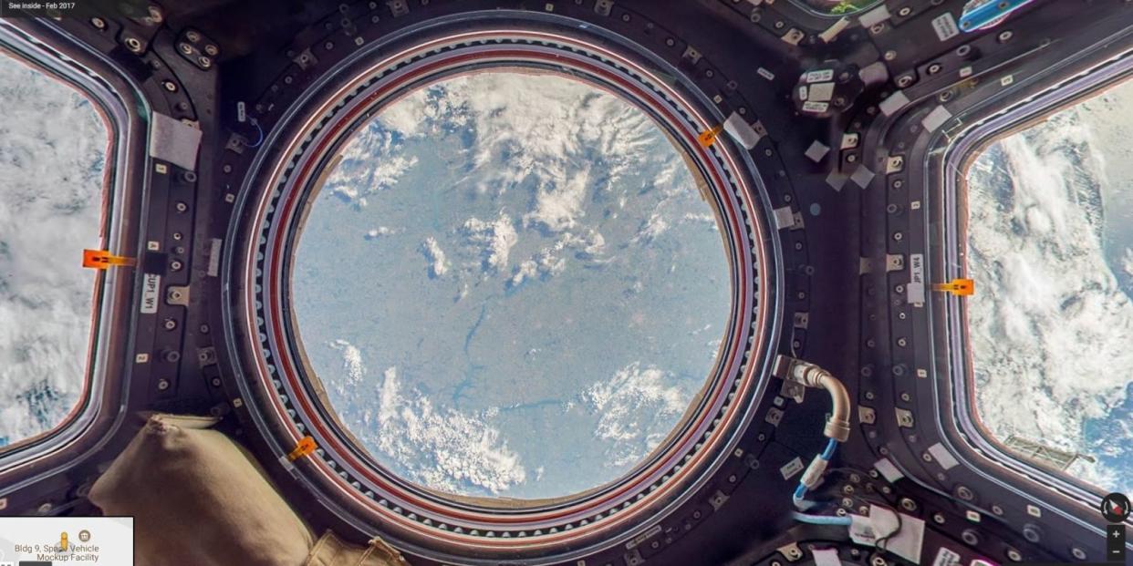
The International Space Station has been just added to Google Maps' Street View and you can take a 360° virtual tour of the whole station.

Orbiting at the high speed of 17,500mph, in low orbit of 400km above Earth's surface, the habitable artificial satellite has a lot of amazing areas to explore. Google has captured all 15 of the station's modules and even added some helpful annotations and fun facts with it.
To bring this viewing experience to us, Google worked with the main international space agencies, including NASA, ESA, JAXA, Roscosmos and CASIS.
Float in space w/ new @Google Street View of @Space_Station! See where crew exercise, conduct @ISS_Research + more: https://t.co/gJycxkdHcX pic.twitter.com/VqesnouCYs
- NASA (@NASA) July 20, 2017
This new feature to Street View coincided with the 48th anniversary of the first manned mission to the Moon's surface, on July 20, 1969.
If you want to find out more about how Google achieved this and the challenges they faced, take a look at this documentary video.
The ISS was first launched into orbit in 1998 and is now the biggest human-made body in low Earth orbit. The station, always manned by a crew of six, is even visible from Earth as it passes across the night sky.
You Might Also Like

