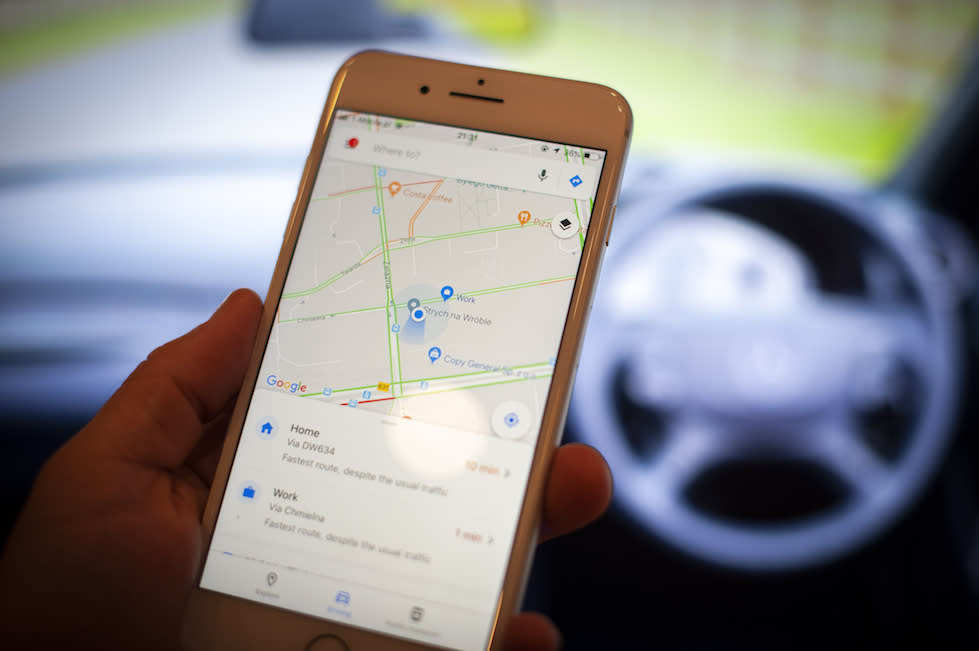
Google Maps blunder by Australian police meant man’s body only found 18 months after he went missing

A Google Maps blunder meant police in Australia didn’t find a man’s body until 18 months after he went missing.
Darrell Simon, 46, was last seen at his partner’s home 50 miles west of Brisbane in November 2014.
Although police searched his rural property in Laidley Creek West, Queensland, at the time, his remains were not found until May 2016, the BBC reported.
This was because search teams had used incorrect data gathered from Google Maps that only led them to cover half of the property.

Mr Simon’s death was ruled a suicide.
In his report, completed last month, Queensland deputy state coroner John Lock said: “The fact the ground search was conducted over only half the property was very regretful and should not have happened.”
He wrote that the delay in finding Mr Simon’s body had “compounded the grief felt by his family and friends, particularly his father”.
MORE: Police investigate after ‘frenzied’ hounds kill fox in front garden during hunt
MORE: Sajid Javid accused of acting like Donald Trump by ‘whipping up’ Channel migrant crisis
Mr Lock said the wait had also fuelled speculation that Mr Simon had been the victim of foul play.
The report said: “One wonders if Darrell’s body was found during the first police search… whether such unhelpful and at times clearly defamatory and untruthful speculation would have even surfaced.”

However, Mr Lock did acknowledge that thick vegetation might still have prevented the body from being found had a proper search taken place.
Mr Simon’s body was eventually found by the property’s new owners after vegetation was cleared and a period of drought.
The report by the coroner said that Google Maps was “less helpful” when establishing the boundaries of the property than other tools that were available to police.
It recommended that police be ordered to use GPS and mapping data when conducting future searches, as well as improving their links with search volunteers.
The coroner was told Queensland police have already started to address both recommendations.

 Yahoo News

