
 Yahoo News
 La Niña has ended but there’s a 50-50 chance another will form by the Australian summer
The Australian Bureau of Meteorology has announced an end to the 2021-22 La Niña in the tropical Pacific – but it could return with the BoM changing its status to “watch”.
La Niña, which involves warming ocean temperatures in the western Pacific, typically delivers increased rainfall across much of Australia along with cooler daytime temperatures south of the tropics and warmer night-time temperatures in the north.
A senior US government scientist warned less than a fortnight ago that Australia’s east coast could be hit by a rare “triple La Niña” that would bring flooding rains and cooler weather for the third summer in a row in 2022-23.
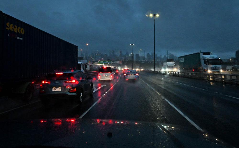
Sydney had its wettest summer for 30 years in 2021-22 and its wettest March on record. It’s already received more than 126% of its average annual rainfall this year.
Related: ‘Triple La Niña’: Australia may face another summer of flooding rains, US expert warns
While the previous La Niña is now officially over, the BoM’s “watch” categorisation means there is a 50% chance Australia will experience another La Niña event forming this year – double the normal likelihood. Winter is likely to be wetter than average.
The BoM’s head of long-range forecasting, Dr Andrew Watkins, said a La Niña event three years in a row would be rare although not unprecedented.
“While back-to-back La Niña’s are not uncommon, and in fact, we get them about half the time, since 1900, a three-year La Niña is less common,” he said. “We’ve only seen that three times since the middle of last century.”
Watkins said meteorologists had been monitoring the weakening La Niña over several weeks.
“A La Niña ‘watch’ does not change the outlook of above average rainfall for most of Australia over coming months,” he said.
“The bureau’s long-range outlook remains wetter than average, consistent with model outlooks from other global forecast centres, reflecting a range of climate drivers including a developing negative Indian Ocean Dipole (IOD) and warmer-than-average waters around Australia.
“Sea surface temperatures are currently warmer than average for much of the Australian coastline, particularly to the north and west. This pattern is likely to increase the chance of above average winter-spring rainfall for Australia.”
The IOD – the difference in sea surface temperature between a western pole in the Arabian Sea (western Indian Ocean) and an eastern pole in the eastern Indian Ocean south of Indonesia – is currently neutral.
But climate modelling suggests a negative IOD is likely to form in the coming months; winter and spring rainfall across eastern and southern Australia is typically above average during a negative IOD.
Most of the observations and surveyed climate models of ocean temperatures and winds over the tropical Pacific Ocean indicate neutral El Niño-Southern Oscillation (ENSO) levels – neither La Niña nor El Niño – are likely to persist during the southern hemisphere’s winter.

