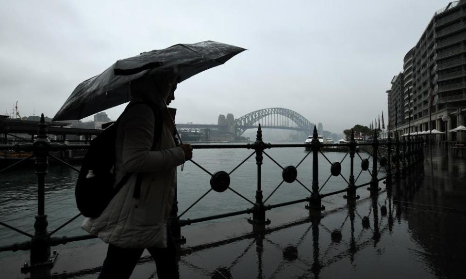
La Niña set to bring cooler weather, more rain and cyclones to Australia

The Bureau of Meteorology has declared a La Niña event has developed in the Pacific Ocean, which could bring cooler days and more rainfall across much of Australia through spring and more tropical cyclones in the country’s north.
La Niña is the cool phase of the El Niño Southern Oscillation and associated with cooler than average sea surface temperatures in the central and eastern tropical Pacific Ocean.
La Niña events typically form in autumn and winter and reach their peak in spring and early summer.
The last La Niña occurred from 2010-2012 and brought widespread flooding and record rainfall. The Bom said its modelling currently suggested the latest event would be strong but would not reach the same intensity.
“This year we’re probably not going to have something as extreme as that event,” said Andrew Watkins, the manager of climate operations.
“This one [is] a little bit more moderate but having said that be aware of local impacts, flooding, heavy rains, and the possibility of storms can occur at any time during the La Niña.”
Related: Australia prepares for bumper harvest as rain boosts NSW winter crops 300%
Watkins said La Niña would likely bring increased rainfall in both northern and eastern Australia and increased risk of flooding. It also raises the chance of increased cyclone activity during the tropical cyclone season, with a typical season being nine to 11 cyclones.
Watkins said the extreme heat Australia has experienced during recent dry summers was less likely to occur this year. But the duration of heatwaves in southern Australian can be longer during La Niña events because weather systems tend to be slower moving.
He said an active La Niña would also reduce the bushfire risk this season slightly, but would not eliminate it.
“We can’t avoid some fires in any summer now,” Watkins said.
“La Niña though, with a bit of extra rainfall, hopefully will keep those fires a little smaller and a little shorter than what we’ve seen in recent years.”
Climate models indicate the La Niña is likely to persist until at least January 2021.
The Bom said on Tuesday that the Indian Ocean Dipole was also in negative territory and five out of six surveyed models indicated it would remain in a negative phase during October.
Both La Niña and a negative Indian Ocean Dipole typically increase the chance of above average rainfall across much of Australia during spring.
The Bom’s current climate outlooks indicate the remainder of 2020 will be wetter than average across the eastern two-thirds of Australia.

 Yahoo News