
 Yahoo News
 Mass migration from Africa likely as government invests in satellite monitoring of vulnerable countries
Climate change could bring mass migration from Africa and diseases, the UK Space Agency’s Chief Scientist has warned, as he said foreign aid was now being used to fund satellites which monitor vulnerable countries.
Dr Chris Lee said global warming could lead to water shortages, droughts and famine, which could push vast numbers from their homes.
In an effort to help countries prepare for climate change, the government has invested £150 million over five years to set up programmes which can monitor sea-level rise, crop failure, natural disasters, deforestation, coastal erosion, oil spillages, water shortages, and predict tsunamis and storm surge flooding.
The technology is also helping connect people in remote areas, and has already saved dozens of lives by helping victims of disasters or accidents contact the emergency services.
But Dr Lee said it will also help Britain prepare for the devastation that climate change could bring at home.
“Satellite technology has allowed us to start thinking about prevention rather than reaction,” he told The Telegraph.
“There tends to be a feeling that satellites are only useful when disaster strikes but they can help drive policy in advance.
“Our climate is becoming ever hotter. Africa in particular is going to have a lot of migration as they find water more difficult to locate and purify.
“What we want to do is help nations find that water themselves, find those reservoirs through satellite technology, rather than those nations getting nervous and then we will start having many migrants moving onto the Euopean continent.
“We’re looking at how meteorological data can assist the elimination of pest disease and we’re using satellite models to see how we might better target mosquitoes and dengue fever.
“I’m not sure as time goes on whether we’re going to see those sorts of diseases in the UK, but I am now aware of ticks when I’m walking through fields in a way I wasn’t five years ago.
“And we can start to see how crop diseases will affect our own food baskets because we will not be able to feed ourselves, because either these crops that we take for granted now like cocoa, coffee will start to suffer from pests, or those pests will come into the UK and affect our crops.
“So we are helping those nations solve those challenges internally rather than exporting those challenges overseas. We are helping our self in the process.”

The International Partnership Programme (IPP) began in 2016 and has now reached its halfway point. So far it has generated £279 million in GVA for the UK economy and supports 3,300 jobs. In total the UK gets more than £2 of benefit back for every £1 invested.
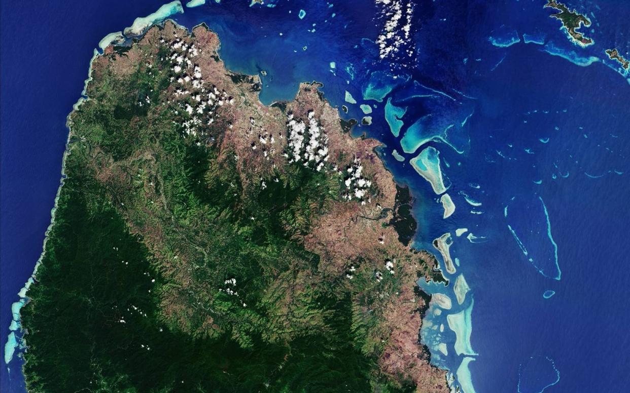
One project funded by government foreign aid is called ‘CommonSensing’ which is helping to protect Fiji, Vanuatu, and the Solomon Islands from climate change. Satellite images have been showing where steep slopes are located, and where the flow of the water and flooding will take place.
They are also monitoring coastal water depth, which can highlight areas susceptible to tsunami or storm surge flooding, as well as showing where it is hazardous to rebuild infrastructure because of the risk of landslides, floods or erosion.
In the Ivory Coast, satellite monitoring is being used to prevent deforestation, while the Malaysian government is using the technology to find the culprits of oil spillages and target clean-up operations, as well as determining the impact of disasters.
In the Philippines communications satellites are helping to connect families who are cut off after natural disasters, and connect victims with the emergency services.
Dr Lee added: “It is allowing nations to help themselves rather than relying on support from international donors when there is a disaster.
“We’re conscious of the optics, and people saying ‘why are you spending money on space technology when these countries are claiming benefits?’
“But we have to recognise that satellites can be tremendously helpful at a particularly important time when we are recognising climate change, and that mitigation and adaptation is needed. These satellites can’t solve the problems but they can provide the decision tools.”
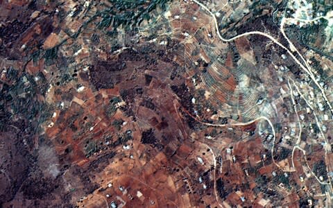
The Forests2020 project is using satellites to detect changes in tree cover Indonesia, Brazil, Colombia, Mexico, Ghana and Kenya.
Another scheme, called Accord, helps coffee farmers in Kenya and Rwanda to improve crop yields, through monitoring unpredictable weather, pests, diseases, nutrient depletion.
Dr Graham Turnock, Chief Executive of the UK Space Agency, said: “The aim of IPP is to make a positive, practical impact on the lives of those living in developing countries.
“While the UK space sector is a success story at home, generating billions of pounds for our economy and providing 42,000 jobs, these reports show it is also tackling challenges and having a positive impact on the lives of people all over the world.”

