
 Yahoo News
 More than seven million people in the UK living in areas with negligible Covid cases
More than seven million people in the UK are living in areas where cases of Covid-19 have almost disappeared, analysis by The Telegraph has revealed.
Hundreds of neighbourhoods across the country recorded close to zero cases last week, despite being under national lockdown restrictions.
Cases have fallen so low in many areas that Public Health England has deliberately “suppressed” data to protect the tiny number of infected people from being shamed on social media.
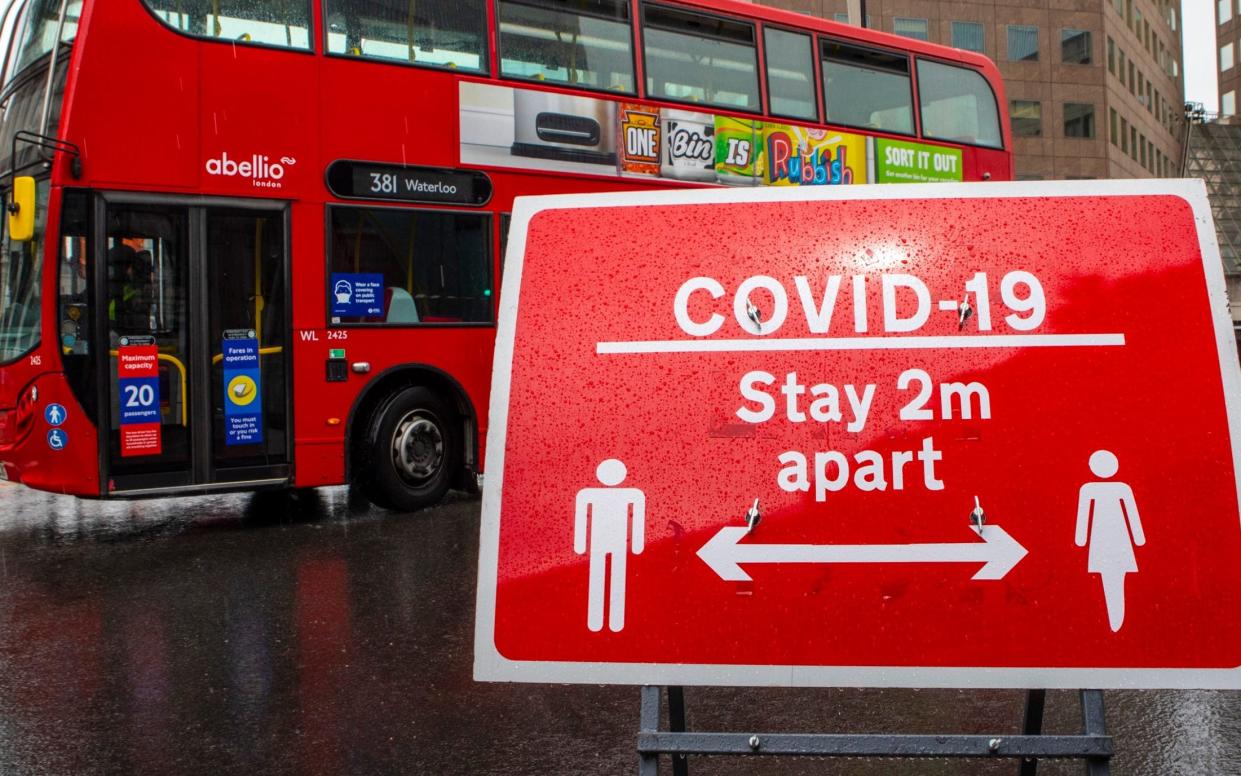
On Monday night, MPs suggested that slides shown at Downing Street press conferences were failing to communicate that the virus has nearly disappeared across large swathes of the country.
Latest figures show that 971 of 6,791 local areas across England recorded fewer than three Covid-19 cases in the seven days up to Feb 23. Around 7.3 million people live in these neighbourhoods, or 13 per cent of the total population.
Areas reporting between zero and two cases are marked by NHS England as “suppressed”, meaning the true number of positive tests is withheld. Official guidance states this is to prevent the small number of infected people from being publicly shamed due to their “rarity or uniqueness”.
Across the country, around a third of rural MSOAs (or Middle Layer Super Output Areas, a geographic hierarchy designed to improve the reporting of small area statistics) are now marked as "suppressed", including large parts of Cornwall, Devon and Wiltshire.
However, the virus has also effectively died out in pockets of England’s largest cities, with around a tenth of urban areas reporting between zero and two cases last week.
In London, which was hit hard by the Covid-19 second wave, "suppressed" neighbourhoods included Notting Hill West, Pimlico in Westminster, Balham in Wandsworth and Hampstead Town in Camden.
Meanwhile, Greater Manchester neighbourhoods including Trafford and Oldham, as well as Liverpool City Region areas including Wirral and St Helens, also saw cases drop to near-zero.
The data also reveals that neighbourhoods hit hardest by the Kent variant at the end of last year have also seen cases plunge to negligible levels.
Of the 100 most infected areas of England during the peak of the second wave, eleven were marked as "suppressed" last week.
These include the rural area surrounding Waltham Abbey in Essex, one of the first counties hit by the more contagious strain of Covid-19 at the end of last year. The area now has at most 34 infections per 100,000, and potentially none at all.
National heat maps shown at Downing Street press conferences are usually divided into 315 Lower Tier Local Authorities, rather than at a granular neighbourhood level. Much of the map presented by Prof Jonathan Van-Tam on Febr 26 was coloured green or blue, suggesting case rates of between 50 and 100 per 100,000 people.
However, more localised data divided into 6,791 MSOAs reveals that cases have fallen to near-zero in many areas.
Bath and North Somerset, for example, was coloured light green in the Downing Street slide, suggesting a case rate across the area of around 50 per 100,000.
Yet the map failed to show that 16 of the 27 MSOAs in Bath and North Somerset recorded between zero and two cases last week. In the city of Bath itself, only two out of fourteen neighbourhoods recorded three or more positive tests.
Sir Geoffrey Clifton-Brown, Tory MP for the Cotswolds, suggested the slides should be “clearer” that some areas had seen Covid-19 cases fall to near-zero.
“I think there should be as much transparency as possible,” he said.
Yet the data also reveals worrying spikes in infections in the Midlands and east and west coast of England, following government warnings that one in five local authority areas in the UK had seen a rise in coronavirus cases in the last week.
Local flare-ups include the rural area of Underhill and The Gove in Dorset, which between the weeks ending Feb 16 and Feb 23 saw its case rate more than double from 364 per 100,000 to 877.
Likewise, the urban neighbourhood of Wetherby East & Thorp Arch in Leeds saw its case rate more than quadruple from 299 per 100,000 to 1252 over the same period.
A Cabinet Office spokesman said: "Using Local Authority level statistics at our press conferences means we can strike the right balance of showing data in an easily readable format, while allowing people to see what's happening in their area.
"We are constantly looking at ways to improve the presentation of data at the press conferences, and we regularly publish MSOA data on our gov.uk dashboard."

