
 Yahoo News
 Scientists search for Caribbean quake clues
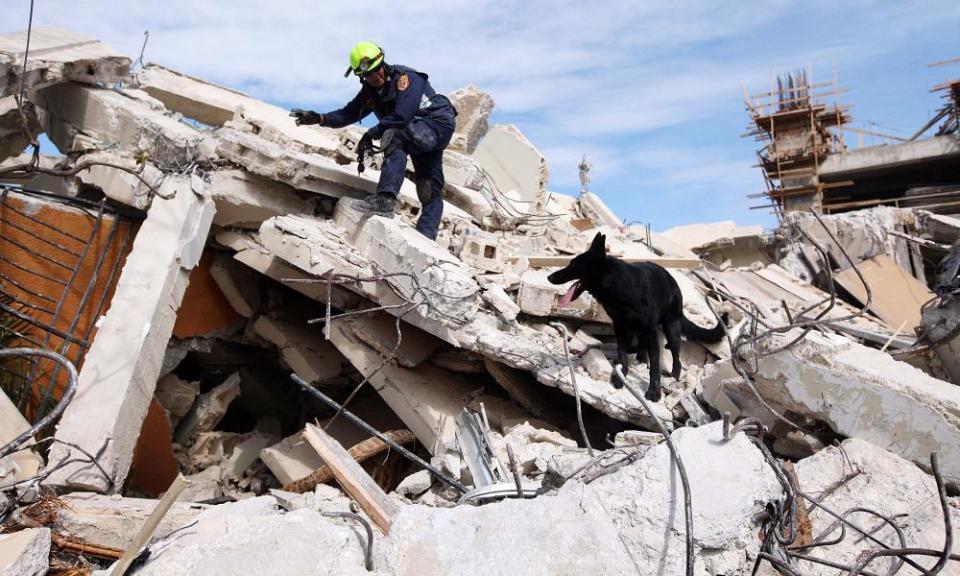
Geologically speaking the Caribbean is a lively place. Recent reminders include the 1995 volcanic eruption on Montserrat, and the devastating magnitude 7 earthquake that struck Haiti in January 2010. Occasionally the Caribbean produces even more powerful outbursts.
Back in February 1843 the region was shaken by an estimated magnitude 8.3 quake, reducing Pointe-a-Pitre in Guadeloupe to ruins and killing one third (1,500) of its inhabitants. Meanwhile, 2,000 people are thought to have perished in a quake of unspecified magnitude which shook Jamaica in 1692.
So when will the Caribbean’s next major rumble be? This month scientists aboard a research ship – the RRS James Cook – will be taking measurements to try to gain some early warning clues. Led by Jenny Collier of Imperial College London, they will be following the seawater that is drawn down into the Earth east of the Caribbean islands, where the oceanic plate dives underground.
Using seismic reflections and sensitive recording devices on the seafloor, the scientists will see if they can spot where water comes into the system and how this affects the surrounding geology.
“Water is a key component in causing the mantle to melt, which eventually forms magma at shallower depths, causing potentially hazardous volcanoes,” explains Stephen Hicks from the University of Southampton. “It may also lubricate or increase the pressure along titanic faults that have the potential to cause huge earthquakes.”
By tracking the movement of water, down to hundreds of miles depth, they hope to better understand what causes the build-up of magma in some places, and why some parts of the plate boundary produce more earthquakes than others.
