
 Yahoo News
 UK braces for more snow and ice
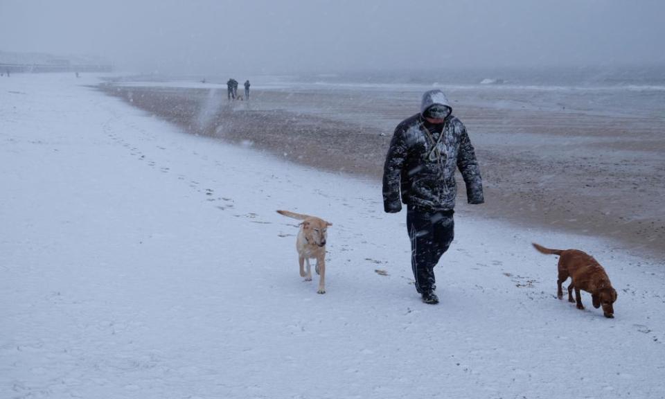
More snow is on the way in the UK after the coldest night for almost two years.
On Saturday, the mercury dropped to -13.5C in Dalwhinnie in the Scottish Highlands, the lowest temperature since February 2016.
Sunday night is forecast to be much warmer, but snow and ice is likely during the day. The Met Office has yellow “be aware” warnings in place for large parts of the UK until early evening on Sunday and says journeys by rail and road are likely to be disrupted.
The forecaster Marco Petagna said: “We could see 10 to 11cm of snow across higher ground. There is still 32cm lying across Tulloch Bridge in Inverness-shire. There was also 26cm in Northern Ireland. The main concern is snow and ice in the north and east.”
The Met Office says there are likely to be icy patches on some untreated roads, pavements and cycle paths and that rain falling on to frozen surfaces could be a further hazard, particularly across Scotland. It is warning people to exercise caution given the risk of falls on icy surfaces.
Traffic Scotland and North Ayrshire police warned people to drive “very carefully”. Five people were injured in a two-car crash on Sunday afternoon amid hazardous conditions in the Highlands. Police said the injuries were not thought to be life-threatening. The A82 near Glencoe Mountain Resort was closed while officers dealt with the incident.
The snow gates at Glencoe were closed as the weather deteriorated, with winds causing drifting snow and white-out conditions.
On Saturday morning, two climbers were rescued after being stuck in a precarious position on a mountain ridge. The pair survived the night without shelter at 3,000ft at Bidean Nam Bian in Glencoe.
After blizzards prevented the Glencoe mountain rescue team reaching them on Friday, the HM Coastguard helicopter located them just after 8.30am on Saturday morning. The Coastguard warned people not to put themselves in “unnecessary danger”.
North Wales police also warned of hazardous driving conditions on Sunday.
Many areas affected by snow this morning - take care if out & about.
Follow @North_Ayrshire @trafficscotland @ScotTranserv @StagecoachWScot & @CalMac_Updates for travel updates.
Look out for the elderly & more vulnerable in our communities.
Call us if needed. pic.twitter.com/fv3YZKTIzM— NorthAyrshirePolice (@AyrshireNPolice) January 21, 2018
Please take care on the roads this morning. Road conditions are poor in some areas due to snow and ice - particularly A4212 Blaenau to Bala road and the A5 Ogwen Valley / Capel Curig to Betws y Coed.
— North Wales Police (@NWPolice) January 21, 2018
Yellow warnings were also in place on Sunday for rain, which if was feared could cause flooding in south-west England, Wales and Northern Ireland. The Environment Agency had one flood warning in place for England – for the River Bray, in north Devon – and 10 flood alerts, mainly in the south-west.
Petagna said there would be a large contrast in temperatures on Sunday, with the mercury hitting 10C or 11C in Cornwall while struggling to get above freezing in northern and eastern parts. It is expected to be a much warmer night on Sunday, above freezing in most places, and milder weather will follow during the week.
Temperatures could hit 8C or 9C in the north on Tuesday and Wednesday and Petagna said the record high for the year so far – 13.9C on 2 January – could be under threat in parts of the south. He said a colder spell could return on Thursday and Friday, but added: “It won’t be as cold as it has been. For most of the UK, it’s going to be much milder this week.”
