
 Yahoo News
 Storm Doris set to bring winter's worst weather to UK as warnings extended
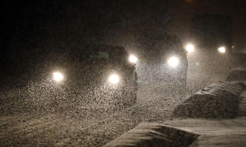
The worst storm of the winter is set to batter Britain on Thursday, with the Met Office warning that Storm Doris will bring gale-force winds and snow to more areas than previously feared.
An amber “be prepared” weather warning has been extended further south to include Birmingham and the northern edges of the home counties where winds of up to 80mph are forecast.
More snow than initially expected is also predicted for Scotland and northern England. A new amber warning for heavy snow has also been issued for southern Scotland and the Cheviot Hills in Northumberland, where up to 30cm of snow is forecast.
A yellow “be aware” warning of high winds has also been extended to include almost all of England, Wales and Northern Ireland.
Amber and yellow weather warnings for #wind & #snow have been issued/updated: https://t.co/TmvTfmDfrK. Stay #weatheraware @metoffice pic.twitter.com/Uz4WXvTroO
— Met Office (@metoffice) February 22, 2017
Warnings of violent storm force 11 winds have been issued in the north-west shipping areas of Bailey, Faroes, and Hebrides, close to the leading edge of the storm. This is just one notch down hurricane force 12 winds.
“There is going to be some significant disruption from this system as it comes across,” a Met Office spokeswoman said. “We are expecting gusts to reach 70-80mph. There may be some coastal locations that are very exposed that may get a little higher than that.”
Thursday – Doris Day, as it has been nicknamed – is likely to see widespread damage to buildings, interruption to power supplies and extensive travel problems. The Met Office is warning of injury from flying debris such as tree branches and roof tiles.
Doris, the fourth named storm of the season, is likely to be worst storm of winter so far, according to the BBC’s forecaster Chris Fawkes. “It is going to explosively deepen in the next 24 hours ... probably the worst storm of the winter,” he said.
The amber warning area already included large parts of north Wales, the Midlands, Yorkshire, and most of the big cities in the north including Liverpool, Manchester, Sheffield and Leeds.
The areas forecast for the worst of the storm include Stoke-on-Trent Central and Copeland where byelections are taking place. There are fears that the storm could hit turnout. At 51.4%, Stoke Central recorded the lowest turnout in the general election in 2015.
Even before the storm was forecast there were fears that the Stoke byelection could beat the record low turnout of 18.2% recorded at the Manchester Central byelection in 2012.
The Met Office played down speculation that Doris represents a “weather bomb”.
A spokeswoman said: “A weather bomb has a quite a strict definition in terms of how quickly a system deepens. We would have to check as to whether this qualifies for that.”

