
 Yahoo News
 UK weather forecast: 30C heatwave warning after Saharan Bubble causes torrential thunderstorms
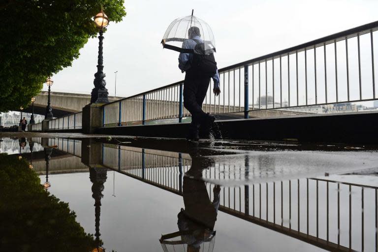
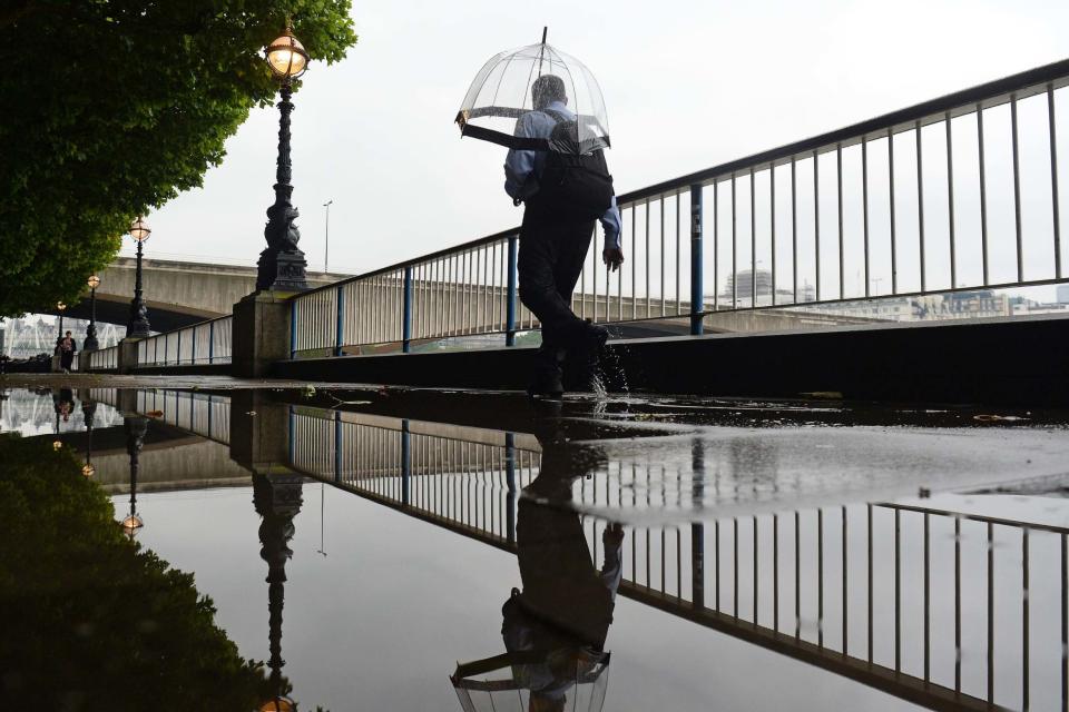
Torrential thunderstorms saw a week’s worth of rain fall in one hour early today as forecasters said a heatwave was on its way.
Storms caused by the “Saharan Bubble” — a 2,000-mile-wide plume of air — hit London, disrupting travel services. Up to 13mm of rain fell in 60 minutes in parts of the South-East.
But following the deluge, forecasters predict temperatures of more than 30C by the end of the week. Public Health England raised the heatwave threat to Level 2, with UK temperatures set to be higher than Egypt and Thailand.
Met Office meteorologist Met Office forecaster Grahame Madge said Saharan Bubble was “not a meteorological term, but it’s quite a good description of this hot air moving over northern Africa.”
He said: “We’re expecting temperatures of 48 or 49C in Algeria, which will be extending across the Mediterranean and the EU.
Thunderstorms in the southeast have moved away so many areas will have a dry and warm lunch hour, but carry an umbrella ☂️ in the northern half of Wales or England, and wear a coat 🧥 near northeastern coasts pic.twitter.com/tjzUmdDHCE
— Met Office (@metoffice)
“Closer to home, France is expecting very high temperatures, with the chance of June records being broken and possibly all-time records too.
“That building heat will begin to be felt in the UK because of low pressure drawing that hot air towards us.
“The heat will make its way to the UK by Friday and Saturday, with temperatures in the low 30s across the south and south east.
“It’s a much drier outlook, although there is still a chance of some heavier showers in some places.
The mercury will rise during the next few days as hot air arrives from Spain and France. Join Alex and Aidan on The Weather Studio Live at 1300 discussing European temperature records, how hot it will be in the UK and whether or not it will be a heatwave.
Got a question for us? pic.twitter.com/YQfVptzCkg— Met Office (@metoffice)
“All the weather warnings have now expired and most places can expect drier and brighter conditions.”
A netweather.tv spokesman added: “Friday for inland south-west Britain looks the hottest spot at the moment. Up to the mid-thirties could be possible. Those at, or heading to Glastonbury could be sweltering.”
In Europe, experts said temperatures could exceed 40C this week as a result of the “Saharan Bubble”, with high humidity making it feel like 47C. Officials in Paris have set up “cool rooms” in municipal buildings, opened pools for late-night swimming, installed extra drinking fountains and suspended school exams.
This morning’s torrential storms flooded some of the busiest railway lines into London, causing disruption for tens of thousands of commuters. There were warnings of more delays this evening with trains and staff out of place because of the earlier problems.
The wettest area was East Malling in Kent, where 19.4mm of rain fell in three hours.
In Haywards Heath this morning, all services through the area including Southern, the Brighton line and Gatwick Express into Victoria and the through London Thameslink services via London Bridge from Brighton to Bedford, suffered cancellations and major delays.
All passengers using the Gatwick Express, Great Northern, Southern and Thameslink services “during the afternoon and evening” were advised to leave extra time for their journeys, while services between Paddington, the West and Wales were delayed by damage to overhead power cables between Didcot Parkway and Swindon.
