
 Yahoo News
 UK weather forecast: Snow blizzards and heavy showers hit country as temperatures plummet
Snow blizzards and heavy showers have hit parts of the UK with temperatures plummeting across the country.
Forecasters said more snow could fall over the course of the weekend, while a number of weather warnings for ice have been issued, covering a large part of Scotland and northern England as well as northern Wales and Northern Ireland.
The severe warnings will be in place from 9pm on Saturday until 11pm on Sunday.
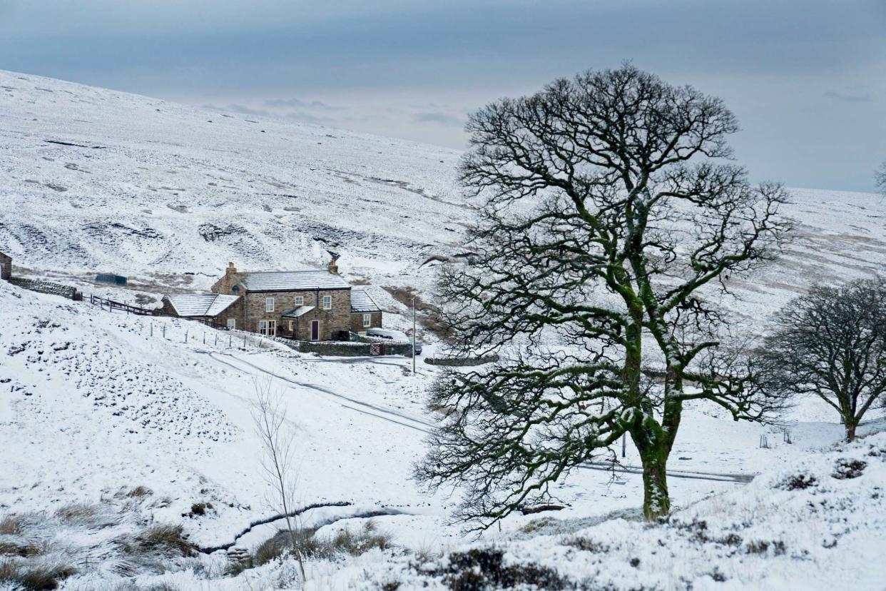
It comes after wintry showers hit a number counties on Saturday morning, with the town of Buxton in Derbyshire among the places affected.
Further south, heavy showers will continue through the weekend, the Met Office said.
Yellow weather warnings for #ice have been issued: https://t.co/QwDLMfRBfs Stay #weatheraware @metofficeuk pic.twitter.com/aRsXVdXX7V
— Met Office (@metoffice)
Earlier floodwater on the roads caused chaos in Leicestershire, where firefighters rescued one driver using an inflatable sled in the early hours of Saturday.
The deluge is set to continue for most areas in the UK - with more snow, rain showers, blustery gales and spots of sunshine forecast for the weekend.
The Environment Agency has issued 13 flood warnings, where flooding is expected, and 130 flood alerts, for areas where flooding is likely, in place on Saturday.
Met Office meteorologist Greg Dewhurst said: "Anyone who is out Christmas shopping will have to wrap up warmly.
"Over the high ground of northern England and Scotland, some places may have a covering of snow.
"Temperatures for most places will be between 3C and 7C, with maximum temperatures of 10C in the South East where the best of the sunshine will be.
"We are also looking at wind gusts of 35 to 40mph."

