
 Yahoo News
 UK weather: Transport disrupted and schools closed as Britain hit by big freeze
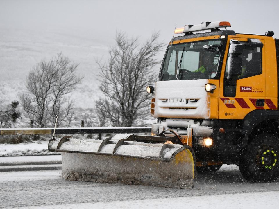

The Met Office warned of more snow and icy conditions across Britain on Wednesday, with falling temperatures expected make it the chilliest day of the week.
Motorists were urged to be extra careful on the roads, with police in North Yorkshire warning of “incredibly bad driving conditions” overnight.
The wintry conditions were ealso expected to cause some disruption to rush-hour rail services, and several schools were closed in Buckinghamshire because of the snow.
Northern parts of the UK woke up to temperatures of -2C and in Braemar, Aberdeenshire, the overnight temperature dropped to -10.2C.
Temperatures were set to climb to only 3C or 4C across much of the country in the afternoon. While coastal regions were warned to expect more snow and sleet showers throughout the day, most of the inland snow was restricted to hilly areas.
Passengers on a Merseyrail train were stuck on board for more than two hours after it broke down, the Liverpool Echo reported.
About 19 passengers had to walk along the tracks between Hillside and Ainsdale after their train broke down – having had to go back on itself when it got stuck behind another broken-down train, passenger Will Reed told the paper.
On Friday forecasters expect it to be breezy, “often cloudy but milder”, according to the Met Office, with fog in hilly areas and patchy rain. On Saturday the wind will get stronger and heavy rain is expected. Sunday will be colder and brighter, though windy and with some wintry showers.
Winter was due to continue next week, the Met Office said.
On its website, meteorologists said that on Monday, “cold and showery conditions are expected” potentially accompanied by snow, moving eastward across the country; Tuesday is expected to be similar.
Forecasters added: “Beyond there, the broad signal is for the unsettled period of the weather to continue, with further bands of rain and hill snow moving east or southeast across the UK, interspersed with brighter showery interludes.
“Snow remains a risk, mostly in the north, but perhaps further south too, and frosts could be quite widespread.
“There is still a chance that even colder conditions may develop later in the period with winds swinging round to the east or northeast, bringing an increased possibility of snow.”
See below how we covered this story live
