
 Yahoo News
 400-mile mini-heatwave as Brits set to sizzle in first 30C day of year
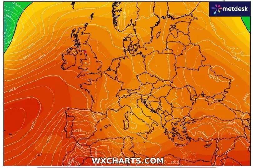
Brits are set to sizzle in temperatures reaching 30C later this month, as forecasts predict a scorching end to May. A 400-mile-wide mini heatwave is expected before the month's end. Initially, it was thought that temperatures would peak in the mid-twenties from May 25 to May 29.
However, updated weather maps indicate that the mercury is set to soar to 30C over the bank holiday weekend, with Sunday, May 26, anticipated to be the hottest day. The intense five-day heatwave will also affect areas beyond the South, with Scotland and parts of the North East and North West of England preparing for higher temperatures.
James Madden, a forecaster for Exacta Weather, said: "Some of the main third-party computer models are now becoming more popular in recognition of the high pressure that rises across our shores throughout next week." He added: "This is now likely to bring at least another several days of warm to hot conditions and could initially see temperatures rising into the mid to high 20s quite widely, and 30C or more can't be entirely ruled out in the hottest spots and for the first time this year," reports the Mirror.
READ MORE: Jeremy Clarkson wants to buy West Midlands pub as locals welcome plan
READ MORE: Dog owners rave about affordable treats ideal for training that are 'big hit' with fussy pets
Met Office's latest forecast predicts the weekend to start rather murky, with a bit of rain in southern regions. The official statement reveals: "A murky start for many with some rain in the south. Turning sunny with showers, and a risk of thunder in the west. Low cloud along some eastern coasts. Feeling warm."
Leading into the new week, the forecast reads: "A drier end to the weekend and into the new week. Showers still remain in places but with plenty of sunny spells on offer. Feeling warm in any sunshine."
For the foreseeable future, the Met Office expresses: "There is a lot of uncertainty in this period, initially the UK will be in-between low pressure over the near continent trying to keep things unsettled and potentially thundery, and high pressure to the west or northwest which would settle things down."
This variance means we could see "This likely lends itself to a period of rain or showers or even thunderstorms in places mainly in the south and east whilst more settled conditions to the northwest. Later into the period increasingly settled conditions are more likely for most, though southern or eastern areas remain occasionally less settled with showers or rain though there will be some sunshine between times, the best of this in western parts. Temperatures are likely to be a little above average, but some large spatial differences are likely."
Coventry Met Office weather forecast
The Met Office say about today's weather: "Rather cloudy first thing but also some brightness in places. Sunny spells developing more widely by the afternoon but well-scattered heavy showers also forming, perhaps with the odd rumble of thunder. Feeling warm in the sunshine. Maximum temperature 21 °C."
Tonight, the Met Office says any showers will soon be easing this evening "to leave some late sunshine. Dry overnight with low cloud pushing in from the west. Staying rather mild. Minimum temperature 10 °C."
On Sunday, Met Office experts forecast "a murky start with low cloud lifting and breaking to leave plenty of Spring sunshine through the afternoon. Feeling pleasant in the sunshine and light winds. Maximum temperature 21 °C."
Then for Monday to Wednesday, the Met Office forecasts "a mixture of cloud and warm sunny spells during this period. Low cloud is possible in the mornings with a chance of isolated showers, particularly by Tuesday. Cloudier on Wednesday."
Get daily headlines and breaking news emailed to you - it’s FREE

