
 Yahoo News
 50 cm of snowfall for parts of Newfoundland is 'worst-case scenario,' says meteorologist
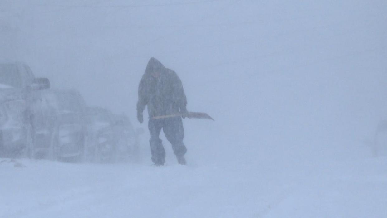
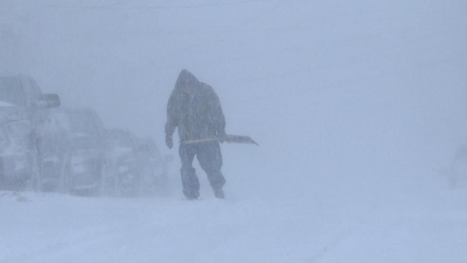
A winter storm could drop 50 centimetres of snow in parts of southern and eastern Newfoundland. (Meg Roberts/CBC)
A wicked storm is brewing for Newfoundland, and one meteorologist says it could dump 50 centimetres of snow on some parts of the province — but stresses the storm system is highly unpredictable so far.
On Wednesday morning Environment Canada issued a special weather statement for what it called a "significant and long-duration winter storm" for most of southern and eastern Newfoundland that's expected to start Thursday afternoon and could last into Saturday morning.
"In terms of snowfall amounts, it's really difficult to say right now. There is quite a large spread in snowfall amounts and where they are going to fall," said Melissa Field, a meteorologist with the Gander weather office.
"We can say that — the kind of worst case scenario — is kind of around 50 centimetres of snow. But again, where that's going to fall is pretty uncertain right now. It's really going to depend on where the track of this low goes."
Field added that a low-pressure system could bring down more ice pellets and freezing rain over the Avalon and Burin peninsulas.
Snow to start Thursday afternoon
Thursday morning will begin with cloudy skies before snowfall starts in the afternoon for most of eastern Newfoundland, as well as other parts of the island.
Precipitation will continue Thursday night and into Friday. Field said it will "hopefully taper off" that evening on the Avalon Peninsula.
Exactly where that snow will fall is uncertain, but she said that the highest precipitation amounts will be somewhere in the Avalon and Burin area.
"Because of the various different solutions that the models are giving us right now, it is really hard to pin anything down on that other than it's going to happen somewhere," Field said.
Moreover, she said, more ice pellets and freezing rain will mean less snowfall.
"So it's quite impossible to say because we really have no idea where it's going right now," she said.
It's easy to say for certain that commuting will be messy on Thursday evening and Friday, however, with likely some "significant snow on the roads."
Download our free CBC News app to sign up for push alerts for CBC Newfoundland and Labrador. Click here to visit our landing page.

