
 Yahoo News
 '72-hour heatwave' to hit parts of England, according to weather maps - but two areas will miss out
Brits are set to bask in a '72 hour' heatwave, according to some forecasters, but not everyone will be feeling the heat as two parts of England are expected to miss out on the sizzling temperatures.
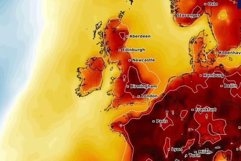
Weather maps reveal that while many will enjoy a mini April heatwave, some will still face April showers. According to WX Charts, which uses Met Desk data for its predictions, temperatures could soar to a balmy 21C at times this month.
The charts indicate that Londoners can expect to enjoy highs of 20C from today until Saturday, with East Anglia and the East Midlands not far behind at 19C. Cities like Birmingham, Nottingham, Manchester, and Sheffield are also set to experience a warm 18C.
READ MORE: 'There's a ripple effect': Life in Greater Manchester's 'best value' town
However, Cornwall and south Wales are predicted to miss out on the sunny spell, with forecasts suggesting heavy rain instead. The Met Office's outlook for the rest of Thursday mentions "Rain in the northwest. Mild and dry in the southeast."
For tonight, the forecast is: "Low cloud, fog and patchy rain will feed north across western and northern areas overnight, heavy at times in the far northwest. The far northeast should hold onto clear spells. Mostly dry, but cloudy towards the southeast. Mild."
And for Friday, the Met Office adds: "Rather cloudy with patchy rain in the north, though brighter across the far northeast of Scotland. England and Wales mostly dry with warm sunshine, but cloudier in the far west."
The weekend forecast suggests a mixed bag of weather across the UK, with "Warm sunny spells in the southeast on Saturday. Showery and cooler further northwest. Generally bright, breezy and cooler on Sunday. Showers in the northwest, spreading to all parts on Monday."
Meanwhile, the BBC's outlook for the next 72 hours indicates: "Saturday will be breezy and wet in northern areas, with heavy rain in north-west Scotland, potentially turning wintry on the hills here. Drier and partly cloudy further south. Windy in the north-west on Sunday, with showery rain pushing eastwards."
"Drier and sunnier elsewhere, particularly in the south-east. Turning colder on Monday with showers for many, these wintry in places."
Areas set to see temperatures of 19-20C on Thursday and Friday:
Norwich
Hull
London
Chelmsford
Ipswich
Cambridge
Sudbury
Halesworth

