
 Yahoo News
 BBC presenter Carol Kirkwood explains why it's so cold at the moment
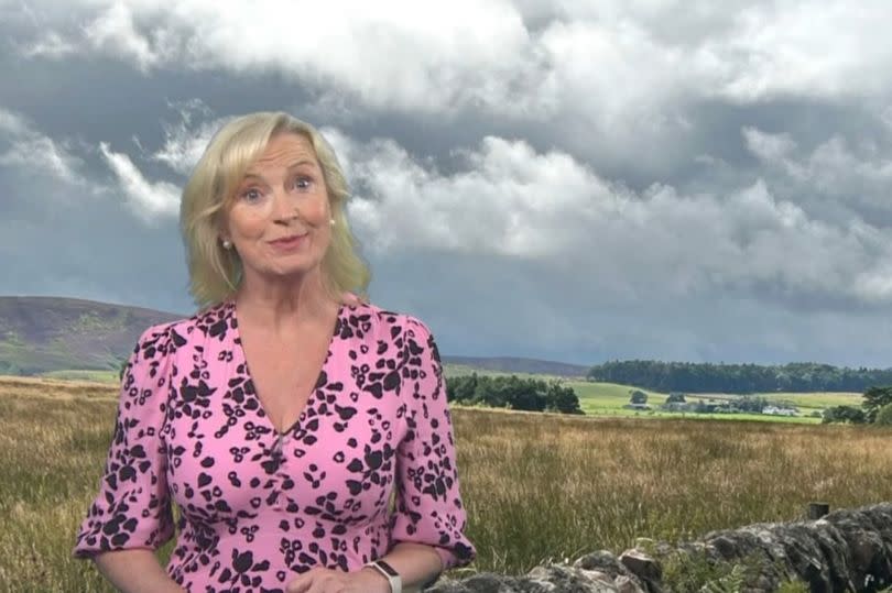
BBC presenter Carol Kirkwood says that "west is best" on Tuesday, April 23, but has warned that temperatures across the UK are below average for the time of year. It was -2C in the Highlands of Scotland this morning and 9C in Aberporth in Ceredigion.
She said that it is not time to "put away your big coat yet", and explained why it is colder than it should be at the moment. At the weekend, Wales did experience some bright, dry and sunny weather but temperatures remained on the cool side, and they look set to slip during this week. For the latest Welsh news delivered to your inbox sign up to our newsletter
READ MORE: Warning issued as caterpillars spread across UK and attack popular plant
READ MORE: Singer Sophie Evans says 'I admire you so much' in emotional tribute
Carol explained why to presenters Jon Kay and Sally Nugent, saying: "High pressure is out to the west so all the wind is coming around it, down the North Sea coastline so we are pulling in Arctic air at the moment."
There is some better news as she added that it looked like the "airmass" was going to change at the weekend, turning a little bit warmer from the south. The Met Office forecast for Wales this week shows an unsettled picture:
Tuesday:
Rather cloudy and murky to start with some patchy rain clearing through the morning. Gradually turning brighter from the north through the afternoon with some sunny spells. Feeling slightly milder than Monday. Maximum temperature 15 °C. Dry this evening with some late sunny spells. Lengthy clear spells overnight allowing for mist and fog patches to develop. Colder with a frost. Minimum temperature 2 °C.
Wednesday:
A chilly start but bright start with any fog patches clearing. Sunny spells through the afternoon with the odd chance of a shower in the south. Temperatures around average. Maximum temperature 14 °C.
Outlook for Thursday to Saturday:
Dry with sunny spells on Thursday. Scattered showers on Friday before turning more unsettled with longer spells of rain approaching on Saturday. Temperatures generally around average with chilly nights.
The long-range UK forecast for next week and the start of May shows that temperatures for most areas will return to average for the time of year, but there are no prolonged spells of warm weather in the forecast which goes up to the middle of May.
The forecast for Saturday, April 27, to Monday, May 6, says: "An uncertain start to the period though likely unsettled as a frontal system pushes into southern areas and possibly across the UK through the weekend. Beyond this low pressure patterns becoming more dominant than of late with wet weather perhaps more likely to develop in parts of the south and east, with western and especially northern areas hanging on to the best of any drier interludes, though all parts are may see some rain at times."
It adds: "Onshore winds along eastern coasts will likely make it feel rather cold at times, though for all parts temperatures will likely trend back toward average. Into early May, something of a north-south split looks possible, with relatively drier conditions further to the north and the greatest chance of rain further to the south."

