
 Yahoo News
 BBC presenter says weather finally set to get 'more summery'
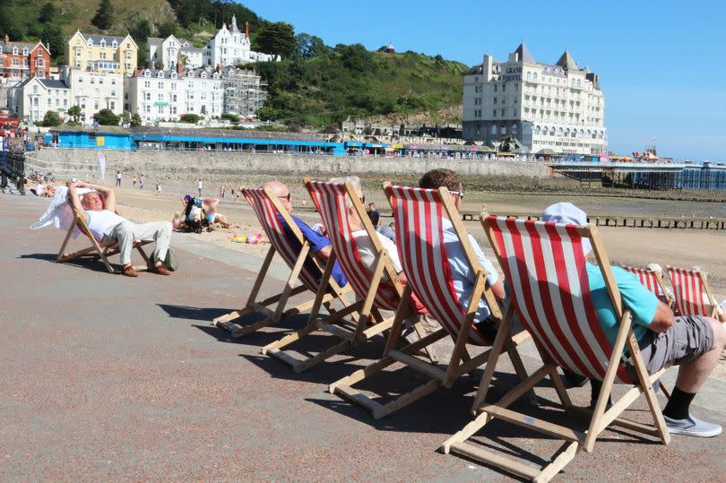
It is not going to feel like summer in Wales this weekend. There is heavy rain forecast and it still feels unseasonably cool - but there is some hope on the horizon.
Areas of low pressure have seen temperatures around 1-3C below average for the time of year, but cloud, rain and wind have made it feel even colder. It's all because of air moving in from the Arctic - a big contrast to this time last year when the UK had the warmest June on record.
The jet stream a core of strong winds blowing from west to east has been located further south than normal for this time of year, meaning the cooler winds from the Arctic region have led to lower temperatures across the UK so far in June.
READ MORE: 'Extreme' parking ban set for road around Wales's biggest lake due to 'reckless' visitors
READ MORE: The 20mph sites where mobile speed cameras are focused this month - including new A5 site
But Welsh forecaster Derek Brockway has given us some hope. He says that some weather models are showing that it will get "more summery" towards the end of June.
He posted on X: "Unseasonably cool on Saturday but the latest GFS model looks warmer and more summery towards the end of June! A long way off so don't get too excited yet but fingers crossed!"
Adding earlier: "Our summer has gone AWOL! The UK on the cool side of the Jet Stream with low pressure. Breezy this weekend with sunny intervals and heavy showers. Sunday drier and sunnier. Next week drier and slightly warmer. Then more unsettled but signs of high pressure late June into July."
He also said: "The June mean Central England Temperature is currently 11.9C, 2.2 below the 30 year average (1961-90). So far this June is the coolest since 1991! June 1991 was the 6th coolest on record in the CET series dating back to 1659. The forecast for Brum shows a slight warming trend."
The Met Office forecast for Wales this weekend says: "Saturday will be another showery day with more general periods of heavy rain likely at times. There's also the risk of thundery downpours in places. Rather windy and feeling quite cool. Maximum temperature 17 C. A few showers continuing this evening and overnight, with clearing skies developing through the early hours. Becoming quite cool, especially in the countryside. Minimum temperature 5 C.
"Sunday will be generally brighter than on Saturday with sunny periods and the chance of a few showers. Whilst these could be heavy, many places will miss them and stay dry. Feeling warmer. Maximum temperature 19C."
The outlook for Monday to Wednesday says that it will be "mainly dry" with cloudy periods alternating with sunny spells. It does add that isolated showers are possible but most places remaining dry. The forecast also says: "Feeling warmer by day but nights often rather cool."
The UK long-range forecast for Wednesday, June 19 to Friday, June 28 says: "It is most probable that initially fine conditions will prevail for most, with more changeable conditions with cloud and some rain being confined to the far north and northwest, temperatures will likely be close to or slightly above average."
"Although even during this time, a few daytime showers could pop up in places. However, there is a slight chance of an alternative scenario that initially an area of cloud could edge northwestwards from Europe and bring a few days of thundery rain and fairly hot / humid conditions to the southeast. Into the last week of June, warmer than average conditions are more likely than cooler than average. Rainfall looks quite variable with an increased chance of drier conditions, at least in the south."
See food ratings in your area:

