California winter storm: Blizzard warning issued as snow heads to Sierra Nevada mountains
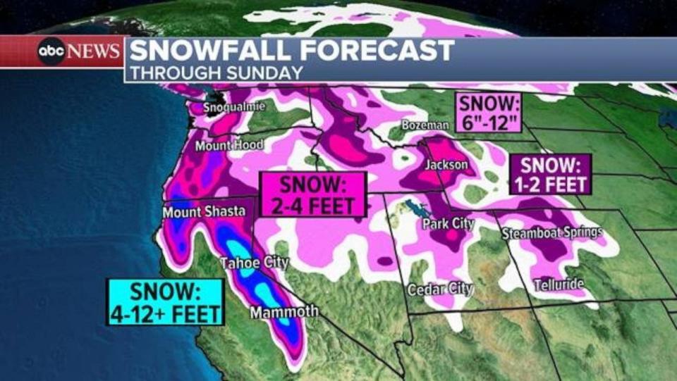
A blizzard warning is in effect in California as a new storm system moves into the mountains with potential to deliver more than 10 feet of snow.
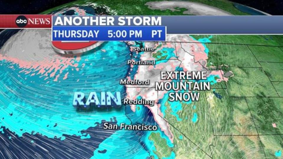
The heavy snow will begin blasting California's Sierra Nevada mountains Thursday afternoon and evening, and will continue into the weekend.

Up to 12 feet of snow is possible.
Gusty winds could reach 80 mph, causing dangerous whiteout conditions on the road.
Winds ramp up overnight tonight, becoming strong & potentially damaging areawide by late AM/early PM tomorrow.
From blowing snow in the Sierra to dangerous crosswinds & blowing dust in W NV, travel will be dangerous Thu-Sun. Get to where you need to be by tonight. #nvwx #cawx pic.twitter.com/qe8VmFjhjU
— NWS Reno (@NWSReno) February 28, 2024
MORE: What every motorist needs to know about driving in snow
A backcountry avalanche watch has been issued for the central Sierra Nevada mountains, including the Lake Tahoe area. "High to extreme avalanche danger" is possible from Friday morning to Saturday night, the National Weather Service warned.
Along the California coast, rain is in the forecast for the San Francisco Bay area Thursday afternoon and evening. Some parts of Northern California could see 2 to 5 inches of rain.

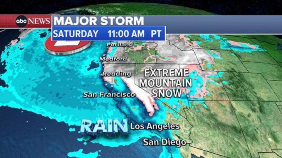
The rain will move into Southern California, including Los Angeles, this weekend, with 1 to 2 inches of rain possible in the foothills.
The region could see some flooding, and with the ground already heavily saturated, landslides and mudslides are also possible.

California winter storm: Blizzard warning issued as snow heads to Sierra Nevada mountains originally appeared on abcnews.go.com

 Yahoo News
