
 Yahoo News
 Coventry set to be hammered with snow as bizarre late winter blast expected in UK
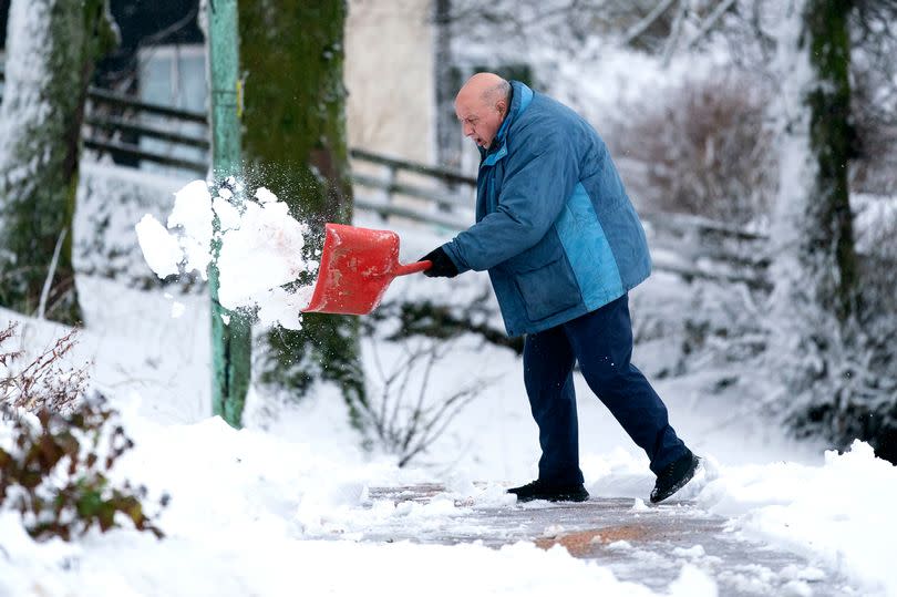
Brace yourselves - despite the hot weather being forecast, Coventry is set for a late blast of snow. That's right - forecasters say the white stuff is heading our way: and plenty of it.
The UK is bracing for a final snowy surprise before the end of the month. Forecasters are predicting up to "3cm snow" in a 12-hour wintry onslaught.
Seven English areas are set to be hammered by the late-season flurries, according to WX Charts maps and Met Desk data. And Coventry could be the worst affected.
READ MORE: Mercedes-Benz driver 'gets stuck trying to dodge traffic' in Coventry
The West Midlands, along with London, areas in Gloucestershire, Nottinghamshire and Derbyshire, are set for a snowy spell. Yet with Coventry is projected to experience the heaviest impact at a rate of 2.5cm per hour.
Oxfordshire and Northamptonshire are not far behind, expecting 2cm per hour, while the capital might also get a light coating. Weather experts have their eyes on a cold front sweeping in from Sunday, April 14, with the Scottish Highlands expected to see snowfall of up to 3cm around April 22.
The wintry weather is then anticipated to journey southward, putting London and other parts of England on alert. As we look towards the end of April and into May, the Met Office suggests a shift in conditions: "Towards the end of April, high pressure will probably be close to the UK with a good deal of dry weather for many areas."
They add, "Moving into May, these settled conditions will probably move northwards, with the driest weather across the northwest of the UK. Where more unsettled conditions develop, these are most likely in the south with a risk of some heavy rain or showers. Temperatures will probably rise above average overall, with warm days but some colder nights.", reports Birmingham Live.
According to the BBC Weather team: "The final week of the month is very uncertain but there are some indications that the high-pressure in the north and north-east of the UK will hold, potentially leading to drier weather particularly in the north. The other scenario sees the high pressure retreating again further west of the UK and re-establishing an overall more north-westerly flow with changeable and cooler conditions."
Moreover, they forecast that it will be "colder at times" between April 15 and April 28.
Get daily headlines and breaking news emailed to you - it’s FREE

