
 Yahoo News
 Exact date bitter Arctic vortex will hit UK with shivering temperatures
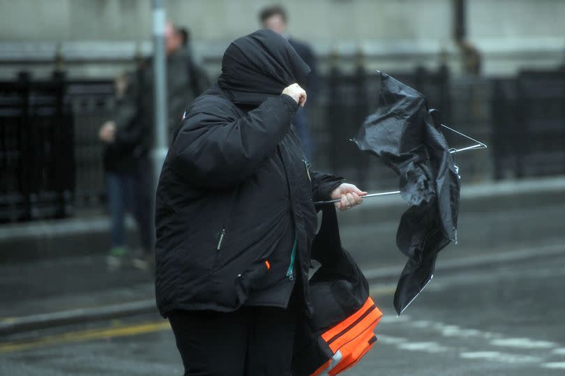
An Arctic vortex is set to sweep into the UK bringing shivering temperatures. For some parts of the country, the temperatures could fall to 4C.
It will hit tomorrow (Wednesday, April 24), reports the Mirror, and will continue as we head into the weekend. Netweather meteorologist Jo Farrow said: "Nothing disturbs this colder-than-average air in the coming week. It remains across central Europe and the UK in the coming days. Czechia has low temperature warnings with agricultural concerns.
"Expected frost can cause damage to vegetation, especially vegetables, grape-vine and blossoming fruit trees. The jetstream is meandering all over the place as the high pressure from this weekend retreats nearer to the Azores. As a result, everything is rather slow moving.
"This cold air will keep us on our toes. Where the sunshine appears, it will feel pleasantly warm, away from the wind. Under cloud cover, in the breeze by day, or after dark with clear skies it will feel chilly."
READ MORE: Coventry binman death ruled an accident but risk was 'foreseeable'
The latest local Met Office online forecast for our area does predict that temperatures will fall 'below average' as we head towards the weekend.
With that will come more rain showers from Friday into Saturday. The updated forecast for our area is as follows:
Today
Rather cloudy and largely dry to start with perhaps the occasional brighter spell. Cloud breaking more widely through the afternoon to leave some sunnier intervals. Feeling milder than Monday. Maximum temperature 12C.
Tonight
Remaining dry this evening and overnight with variable amounts of cloud. Clearer spells becoming more prolonged overnight allowing temperatures to fall and give a touch of frost. Minimum temperature 4C.
Wednesday
Chilly but dry start with cloud building through the day leaving sunny intervals and the odd shower, but most places staying dry. Temperatures around average. Maximum temperature 12C.
Outlook for Thursday to Saturday
Largely dry to start with sunny spells and the odd shower. Showers becoming more widespread through Friday and into Saturday. Temperatures generally at or below average with chilly nights.
Get daily headlines and breaking news emailed to you - it’s FREE

