
 Yahoo News
 First of back-to-back atmospheric rivers pushes into California. Officials urge storm preparations


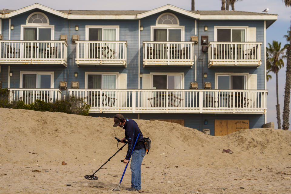
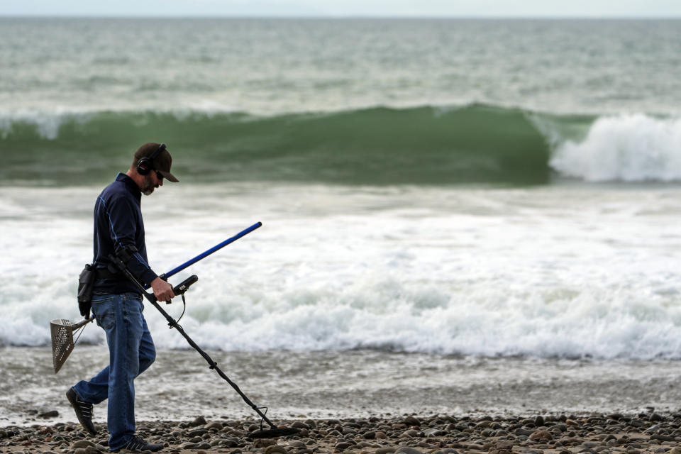
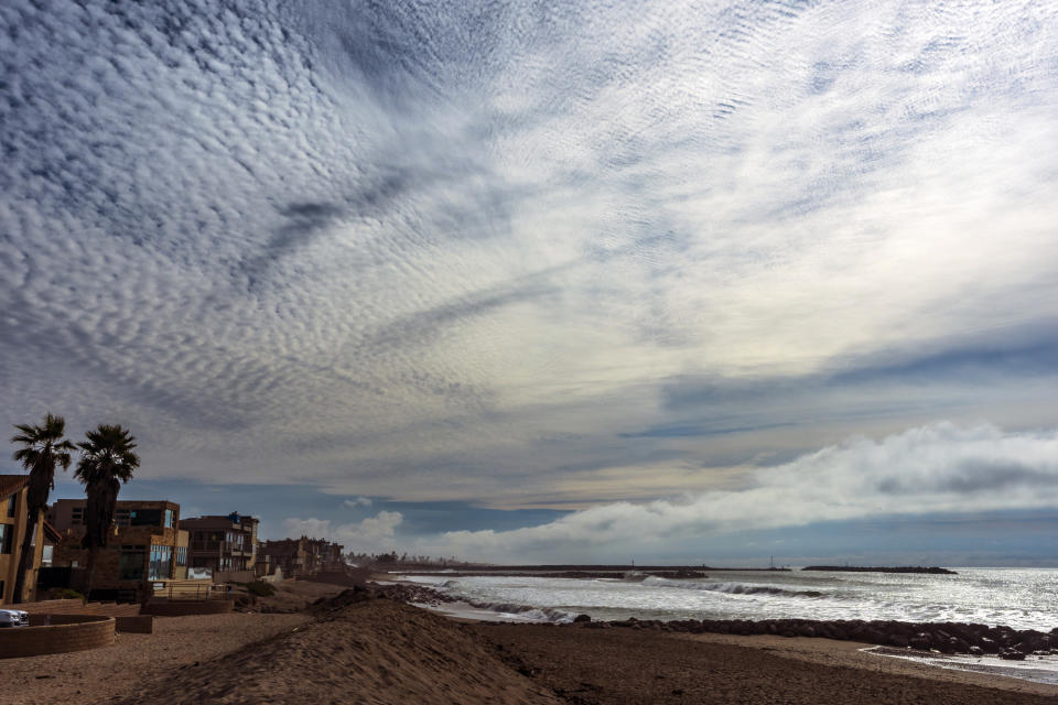

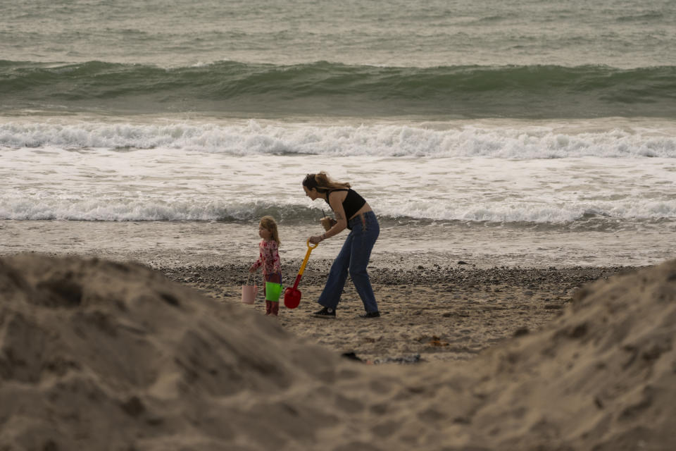

LOS ANGELES (AP) — The first of two back-to-back atmospheric rivers slowly pushed into California on Wednesday, triggering statewide storm preparations and calls for people to get ready for potential flooding, heavy snow and damaging winds.
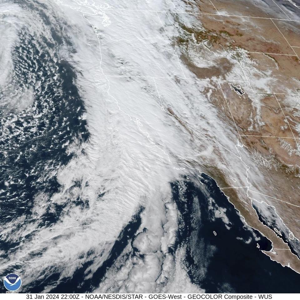
Known as a “Pineapple Express” because its long plume of moisture stretched back across the Pacific to near Hawaii, the storm rolled into the far north first and was expected to move down the coast through Thursday. Forecasters expect an even more powerful storm to follow it Sunday.
The California Governor's Office of Emergency Services activated its operations center and positioned personnel and equipment in areas most at risk from the weather.
Brian Ferguson, Cal OES deputy director of crisis communications, characterized the situation as "a significant threat to the safety of Californians” with concerns for impact over 10 to 14 days from the Oregon line to San Diego and from the coast up into the mountains.
“This really is a broad sweep of California that’s going to see threats over the coming week,” Ferguson said.
Much of the first storm’s heaviest rain and mountain snow was expected to arrive late Wednesday and overnight into Thursday.
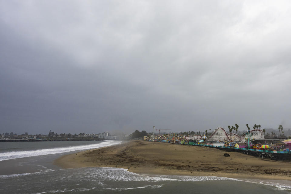
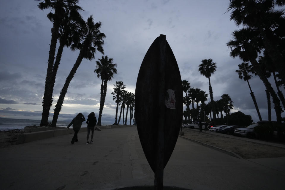
Heavy rain and gusty winds began hitting the San Francisco Bay Area on Wednesday evening. Service on San Francisco's iconic cable cars were halted as a safety precaution.
Pacifica, a coastal city in San Mateo County, recorded more than an inch (2.5 centimeters) of rain in one hour.
“The main impact is going to be runoff from heavy rainfall that is probably going to result in flooding of some waterways,” said Robert Hart, a meteorologist with the National Weather Service’s western region.
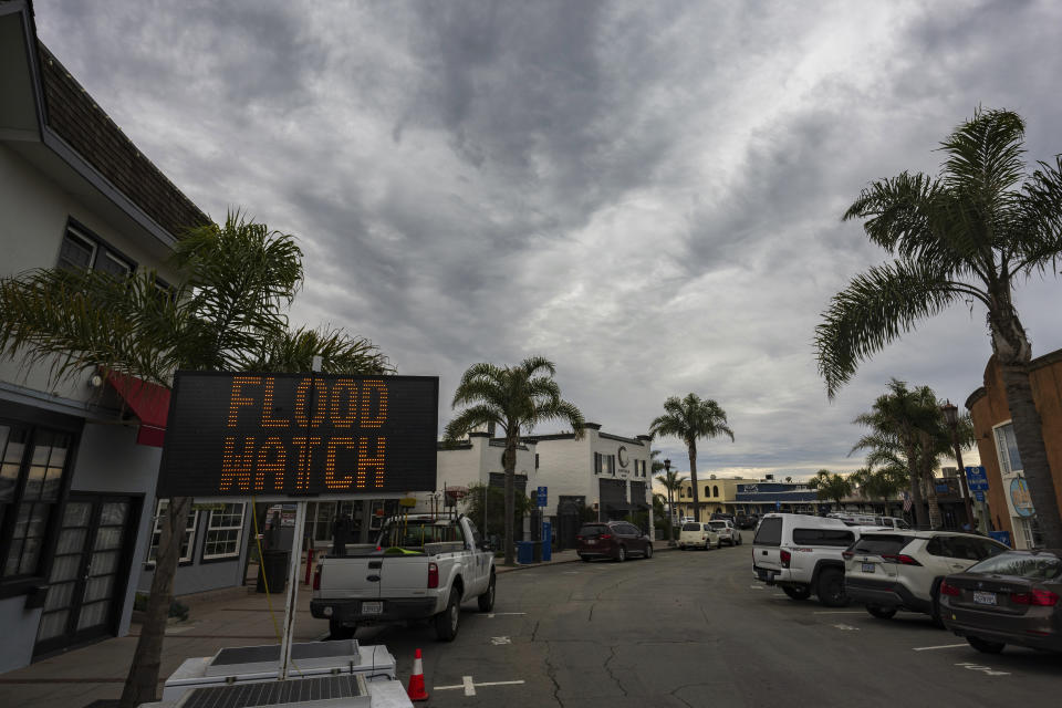
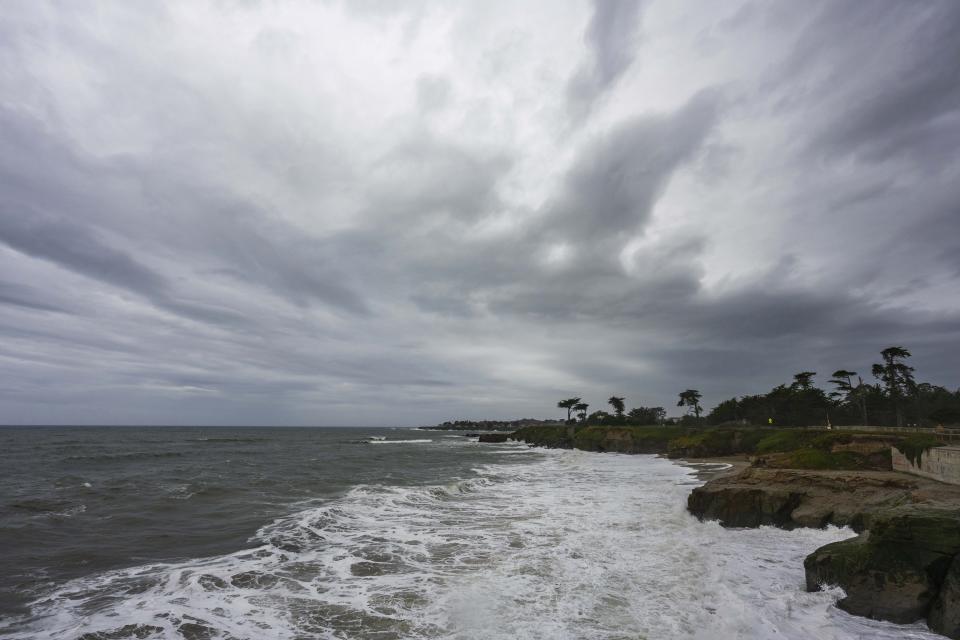
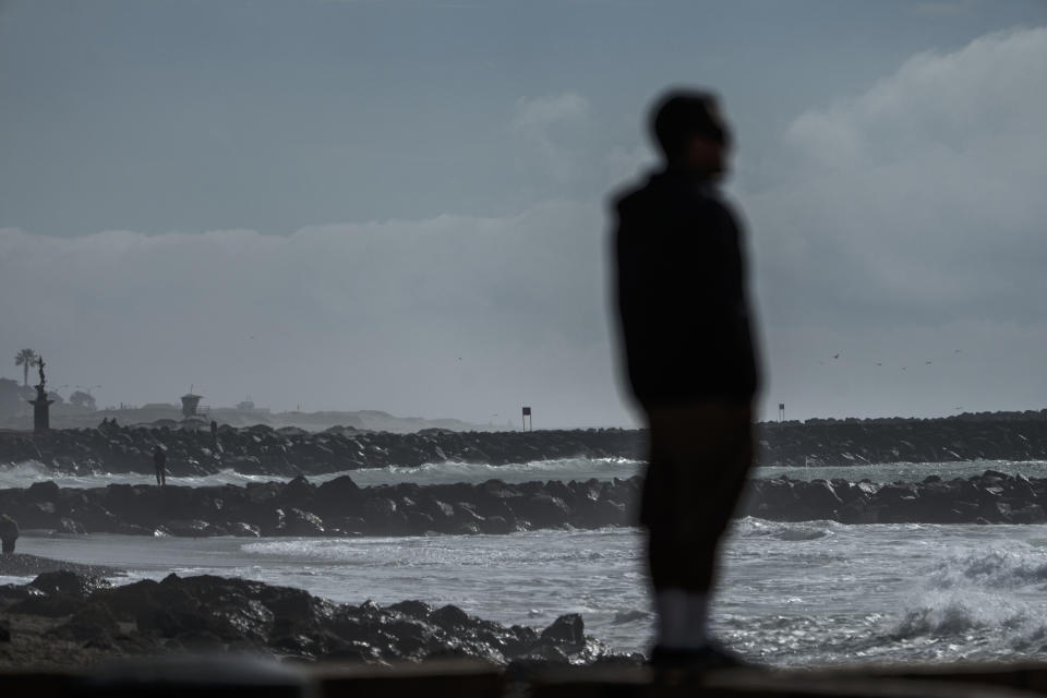
The weather service issued a flood watch into Friday morning for the Bay Area and the Central Coast because of possible flooding of rivers, streams, some roads and areas scarred by previous wildfires.
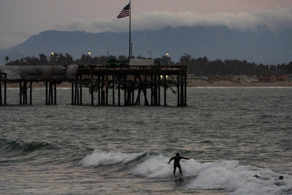
Forecasters also said the Central Coast could see waves up to 18 feet (5.4 meters) high on Thursday and Friday.
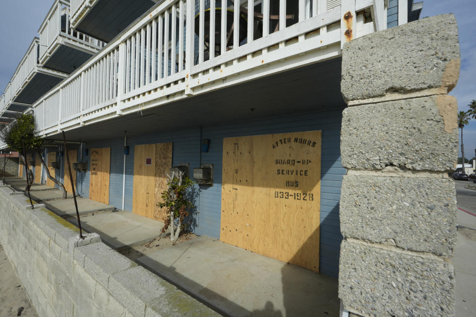
Last winter, California was battered by numerous drought-busting atmospheric rivers that unleashed extensive flooding, big waves that hammered shoreline communities and extraordinary snowfall that crushed buildings. More than 20 people died.
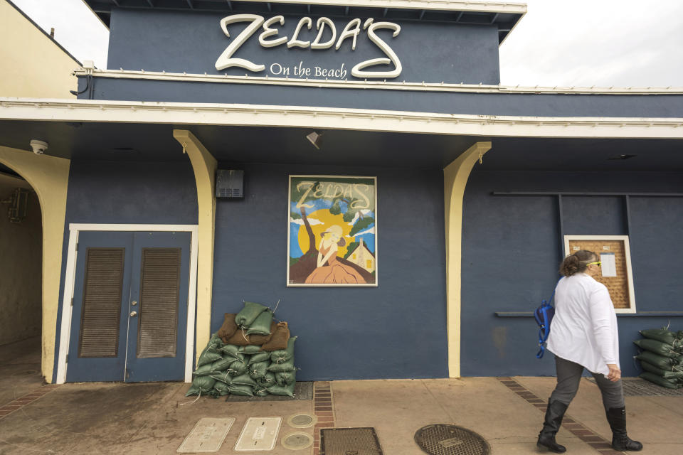
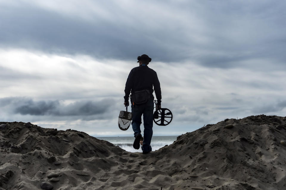
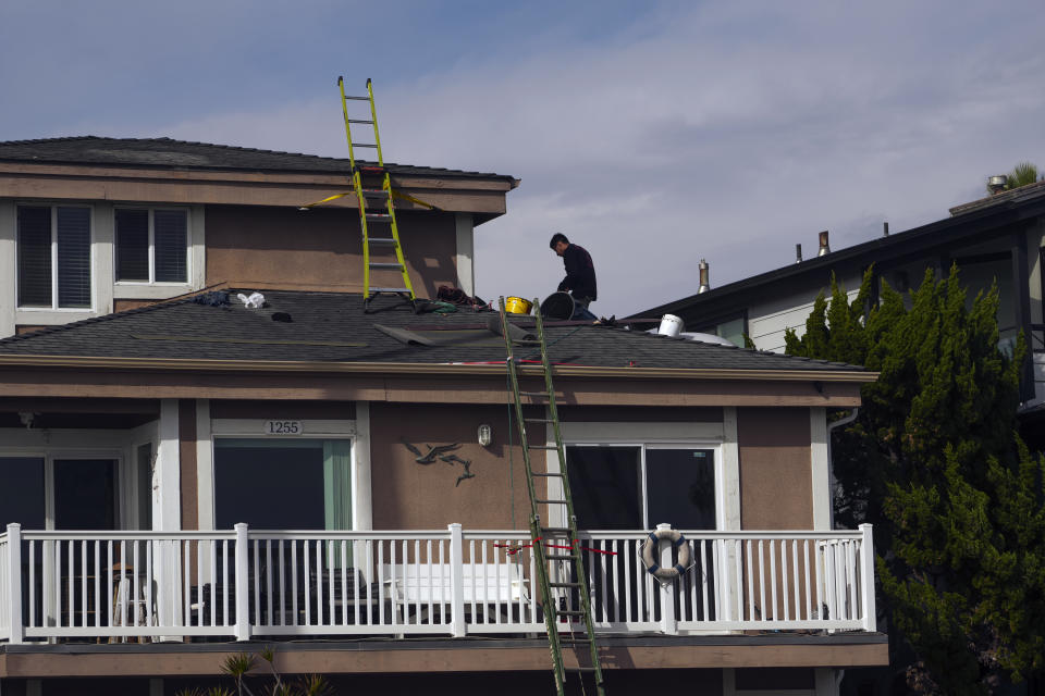
The memory was in mind in Capitola, along Monterey Bay, as Joshua Whitby brought in sandbags and considered boarding up the restaurant Zelda's on the Beach, where he is kitchen manager.
“There's absolutely always a little bit of PTSD going on with this just because of how much damage we did take last year," Whitby said.
The second storm in the series has the potential to be much stronger, said Daniel Swain a climate scientist at the University of California, Los Angeles.
Models suggest it could intensify as it approaches the coast of California, a process called bombogenesis in which a spinning low-pressure system rapidly deepens, Swain said in an online briefing Tuesday. The process is popularly called a “cyclone bomb.”
That scenario would create the potential for a major windstorm for the San Francisco Bay Area and other parts of Northern California as well as heavy but brief rain, Swain said.
Southern California, meanwhile, would get less wind but potentially two to three times as much rain as the north because of a deep tap of Pacific moisture extending to the tropics, Swain said.
“This is well south of Hawaii, so not just a Pineapple Express,'" he said.
The new storms come halfway through a winter so far very different than a year ago.
Despite storms like a Jan. 22 deluge that spawned damaging flash floods in San Diego, the overall trend has been drier. The Sierra Nevada snowpack that normally supplies about 30% of California’s water is only about half of its average to date, state officials said Tuesday.
___
Nic Coury contributed to this report from Capitola, California.
