
 Yahoo News
 Flooding fears across Cheshire as county hit by more heavy rain
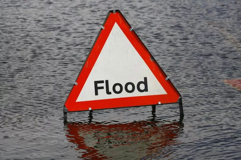
One flood warning and six flood alerts have been issued by the Environment Agency covering several parts of Cheshire. It comes as the county is once again hit by heavy rain today (April 10).
Chester, Crewe, Frodsham and Widnes are among the areas where flooding is possible, while flooding is expected at Arpley Bridge in Warrington. According to the Met Office, heavy downpours are forecast to last until 2pm.
A number of roads remain submerged today after strong winds and heavy rain stuck yesterday when the UK's latest storm wreaked havoc across the country.
READ MORE: Live: Motorists rescued as Storm Pierrick leaves Cheshire roads under water
The one Cheshire flood warning:
Mersey Estuary at Arpley Bridge, Warrington
As a result of high spring tides and strong winds, tides will be at their highest between 2.15pm and 3.15pm. Tides are expected to be higher than usual due to the forecast weather conditions during coming tides.
People are urged to stay away from beaches, promenades, coastal footpaths and roads as the expected large waves and sea spray will be dangerous. The flood warning area is Chester Road between Brian Bevan Island and Arpley Railway Bridge; and Arpley Road in Warrington.
The six Cheshire flood alerts:
Dee Estuary from Parkgate to Chester
Flooding is possible at low lying land and roads around the Dee Estuary. No flooding to property is expected. Higher than normal tides are expected over the next two days and as a result further alerts may be issued.
People are urged to be careful along beaches, promenades, coastal footpaths and roads as large waves and sea spray could be dangerous. Areas at risk include Parkgate, Neston and Puddington, continuing to Blacon and Saltney, Chester.
Mersey Estuary from Liverpool and Wirral to Widnes
Flooding is possible at low lying lands and roads from 12pm in Widnes, peaking between 1.15pm and 3pm. Higher than normal tides are expected over the next two days and as a result further alerts may be issued.
Avoid using low lying footpaths and any bridges near local watercourses and do not attempt to walk or drive through flood water. Areas at risk include Liverpool, New Ferry, Woodside, Ellesmere Port, Runcorn, Widnes and Hale Village.
River Dee catchment from Whitchurch to Chester
River levels will be high all day and through tomorrow. Flooding is forecast to affect locations near the River Dee, with low lying land expected to be most affected, particularly around low lying land and roads around the River Dee at Shocklach, Farndon, Handley, Lower Kinnerton, Chester and Puddington. Avoid using low lying footpaths and any bridges near local watercourses and do not attempt to walk or drive through flood water.
River Gowy catchment including areas around Frodsham
River levels will be high all day and through tomorrow. Areas most at risk include low lying land and roads around the River Milton and Hornsmill/Hool, Stanney Mill and Thornton Brooks and their tributaries. Avoid using low lying footpaths and any bridges near local watercourses and do not attempt to walk or drive through flood water.
Weaver catchment including Nantwich, Frodsham, Crewe, Winsford and Northwich
River levels are rising on the River Weaver due to rainfall. River levels will continue to rise and will peak overnight. No further flooding to fields and roads is expected, however there may be standing water seen for several days.
Mersey Estuary at Warrington
Flooding is possible at low lying lands and roads from 1pm at Fiddlers Ferry and Eastford Road. Areas at risk include Fiddlers Ferry, Eastford Road, Arpley Bridge, Knutsford Road, Howley, Kingsway North and Westy.
NEWSLETTER: Sign up for CheshireLive email direct to your inbox here

