
 Yahoo News
 Flooding strikes parts of UK as effects of deadly US storm bring heavy rain and snow
Travel has been disrupted in Scotland and flood waters are rising as the UK is hit by the effects of the deadly bomb cyclone that struck the US ahead of Christmas.
The Met Office issued weather warnings for rain, snow and ice across Scotland before the system's arrival late on Thursday night and into Friday.
They included an amber alert for heavy rain in parts of Dumfries and Galloway, as well as the Scottish Borders, with around 40-50mm expected.
That warning expired at midday but experts warned that river levels would continue to rise significantly for several hours.
Northern Scotland is covered by active warnings for snow and ice.
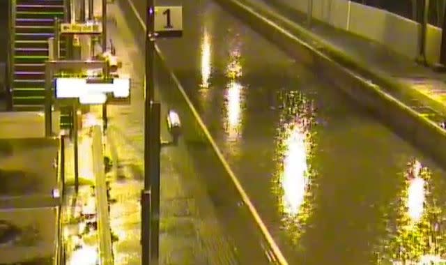
The weather has brought significant disruption to transport.
Scotrail reported earlier in the day that flooding had forced the suspension of several services though the North Clyde route was later reopened after water was cleared from the line at Bowling.
Most services were running but with major delays due to speed restrictions.
Motorists were also warned of difficult driving conditions - with ice and waterlogging being blamed for a spate of accidents.
Check the forecast where you live
Police urged people to consider delaying travel plans until conditions improved.
The Scottish Environmental Protection Agency (SEPA) has issued 10 flood alerts and 34 warnings, including Pollok Country Park in Glasgow.
Waters were expected to have peaked by early evening in the majority of the areas covered.
Vincent Fitzsimons, SEPA's flood duty manager, said: "Surface water impacts have already caused significant disruption to the transport network, with roads and railway lines flooded.
"River levels are also rising fast and are expected to peak later in the afternoon, with flooding of properties possible.
"The main areas of concern are riverside communities in Dumfries and Galloway and the Borders such as Dumfries, Hawick and Peebles."
Scotland is being worst hit by the weather problems linked to the so-called bomb cyclone that struck much of the United States in the run-up to the festive season.
Plunging temperatures and up to six feet of snow across multiple states left more than 50 dead.
Met Office meteorologist Simon Partridge said: "The UK weather is going to remain unsettled with further spells of wet and windy weather due to the strengthening of the jet stream because of the weather in the US.
"The effect it's having on the UK is nowhere near as dramatic because that system has brought up a lot of cold air further south, across the US.
"Indeed, the cyclone is only having an effect on the UK due to its impact on the North Atlantic jet stream.
"What effect (the bomb cyclone) has had is to strengthen the jet stream, because the jet stream is basically driven by temperature differences.
"So the starker the difference in temperature between the northern edge of it and southern edge, the stronger the jet stream becomes."
He said the knock-on effect for the UK is spells of wet and windy weather over the next seven to 10 days.

