
 Yahoo News
 'Footpaths are the arteries of a community'
Where is your nearest footpath? When did you use it last and why?
Just occasionally the humble footpath makes the news. Recently the first item on regional news was that 49,000 miles of footpaths could be lost by 2031. These are footpaths that are not currently recorded on Local Authority maps.
Exmouth is, however, a walker’s paradise. We have 25 footpaths registered with DCC and numerous others, well used and popular which for some reason or another fail to meet the registration requirements. In addition we have nationally and regionally and recognized paths such as the South Devon Coast Path and the East Devon Way and the Exe Estuary Trail and the Buzzard Route (the former railway linking Exmouth and Budleigh Salterton and beyond) are included in the National Cycle Network.
To be a footpath user you don’t have to invest in walking boots and poles. It’s more likely that you’re a mum or dad taking your child to school or you’re taking a safe and convenient route to the local shops or surgery. This is why our public footpaths are important. To help us use them DCC gives a small grant to the Town Council’s own excellent Maintenance Team because local knowledge and immediate action are most effective.
Now the weather seems to be on the turn I have walked three registered paths, two of which I have never used.
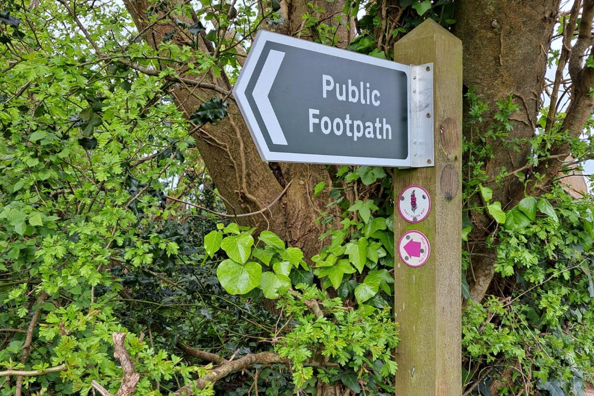
First, the East Devon Way – not all 40 miles of it – just a short section within the town boundary. Walkers prefer circular walks to those where you return the same way but a destination walk is also attractive particularly if there’s an afternoon tea at the end. Footpath 12 is a two-destination walk which can take you to A la Ronde or Point-in-View or both.
I started from Marley Road and climbed Crowders Hill which is not for the faint-hearted either ascending or descending. On Hulham Road the path continues directly opposite and is well-signed. You are quickly transported into the countryside with, when I walked it, verges ablaze with late snowdrops and a breathtaking display of bluebells The path is hard-surfaced and relatively flat. Once a large meadow appears to your right you are almost there with A La Ronde to your left and Point-in-View a short road walk to the right.
My next walk was an absolute and surprising delight – FP10 starting up School Lane from Withycombe Road. This is also hard-surfaced all the way. The first thing I noticed on the right was the large unmown environmental area at the back of the Withycombe Primary School playing fields which must be a great habitat for wildlife.
At this point the WW2 song ‘A long long trail a-winding’ came to mind’ but that was less due to the modest incline than to the wondering what was around the next corner. You may be in the heart of urban Exmouth but you could be in a rural capsule with seasonal verges and mature trees. After a mild descent I reached a cycle restrictive gate and then a choice. I chose both. To the right I came to Pound Lane and due to the height advantage on what was a clear day I could see the Estuary and the hills above Exeter. It occurred to me that I could have one of Greenfingers’ excellent coffees and in a few months time could continue to my walk through the Bapton Valley Park which should be completed this year.
However I returned to whence I came and was attracted by the little bridge to the left of my exit. A few yards past the Cats Motel I stood looking down on a babbling brook (the Bapton Stream). Peace and contemplation in the heart of the largest town in Devon.
A lady with a dog pointed out a different route back – down the path/cycleway that ends at Burnside. A there-and-back walk had become circular. After a few yards to my right was a gorgeous meadow – huge with two benches. My estimated half hour walk became an hour as I sat in the sun listening to the stream behind me and reminding myself of the hidden joys in this town.
Finally I remind myself that many people out for a stroll, especially with a dog, like a grassy field. So to FP 5 which takes you from the north side of the churchyard of Littleham Church across two fields with the next gates clearly visible. Paths identified by trodden grass. When you reach the former railway track you have a dilemma. Many maps show the path continuing with the entrance to the next field directly opposite. There is now a diversion with the onward route reached by turning right and about 200 yards along the hard surfaced track you will find, just before a bench, steps with a sturdy handrail taking you down the embankment into more fields exiting at Salterton Road. The Liverton Business Park is opposite with bus stops on both sides of the road. With rain coming on I turned left on reaching the track and headed back past the Bidmead Hall to Littleham Road. A short but pleasant stroll but I could have made it longer.
When planning a gentle stroll or a longer walk the waymark signs give common sense advice – close gates, keep dogs on leads and keep to the path. I would add take a map and wear footwear and clothing suitable to the terrain and weather. Now summer is coming – Enjoy!

