
 Yahoo News
 Grimsby weather forecast as Met Office predicts abnormal temperatures
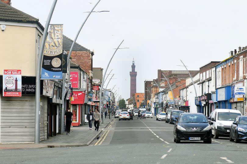
As we move from spring and towards summer, Grimsby is forecast to have some strange weather over the next week.
The Met Office has predicted a fairly sunny weekend, although it is also unseasonably cold with a maximum temperature of 9°C. Next week, a period of cold weather and rain showers will dominate.
In its report for Grimsby, Cleethorpes, and the surrounding areas in North East Lincolnshire, the forecaster said it would be "dry with clear periods for many areas, and temperatures falling close to freezing in rural locations". Overnight, clouds from the Pennines will gradually spread eastwards and there will be a "minimum temperature of 1 °C".
READ MORE:
Furious motorist slams door as he storms out of court after being found guilty of dangerous driving
Disgusted residents say flytipping is out of control and 10-foot stinks of dirty nappies
On Sunday, the weather in Grimsby is predicted to be sunny and dry, with a forecast of "cloudy changing to sunny intervals by late morning". The chance of rain will be less than 5% for most of the day.
Despite the sunshine, temperatures will be unusually cool with a maximum of 9°C in the afternoon. The Met Office said temperatures are "below average" for the season with averages in late April normally closer to 14°C.
On Monday, it will be wet for most of the day in Grimsby, starting with cloud cover in the morning and then rainfall from about 1pm until around 10pm at night. The temperatures will remain in single figures, with a maximum temperature of a chilly 8°C.
The Met Office said Tuesday and Wednesday will be "generally cloudy with showers", with Wednesday particularly wet although there is a chance for some sun between 1pm and 4pm. Temperatures are expected to remain below average at around 9°C.
Explaining the cold weather in Grimsby and surrounding areas, The Met Office said areas on the east coast, such as Humberside, are particularly prone to cold weather because of winds from the north.
In its long-range forecast up to May 3, the weather reporting service said: "This period will be dominated by high pressure to the northwest of the UK and lower pressure to the southeast over the near continent, and the extent to which either of these systems dominates at any particular time.
"The wind will probably therefore predominantly come from a northerly direction, so temperatures overall are likely to remain around or a little below average, with any warmer conditions will generally be further west - and near some eastern coasts it could feel quite cold at times."

