India lodges ‘strong protest’ over new Chinese map ahead of Xi Jinping’s expected visit for G20 summit

India has lodged a “strong” diplomatic protest with China after the latter released an official map that shows Indian territories in the Himalayas as its own.
The formal objection has led to doubts over Xi Jinping’s expected visit to Delhi for the G20 summit set to begin next week and comes in the backdrop of a historic border dispute between the nuclear neighbours that has only strained diplomatic relations between them.
On Monday, China’s Ministry of Natural Resources released a map showing the Indian territories of north eastern Arunachal Pradesh and the disputed Aksai Chin area on the western border as Chinese territory.
The map also included Taiwan and the entire South China Sea as Chinese areas.
Indian foreign ministry spokesperson Arindam Bagchi said in a statement that India rejected claims of China’s so-called “standard map”.
“We have today lodged a strong protest through diplomatic channels with the Chinese side on the so called 2023 map of China that lays claim to India’s territory,” he said.
“We reject these claims as they have no basis. Such steps by the Chinese side only complicate the resolution of the boundary question,” he said.
China is yet to comment on the incident.
The diplomatic incident between India and China comes at a crucial time when Delhi will host world leaders from the largest economies of the G20 grouping.

Joe Biden, Rishi Sunak and Justin Trudeau are among the Western world leaders who will visit India’s capital for the two-day summit on 9-10 September.
Mr Xi is yet to announce his travel plans to India.
The map has sparked fury among experts, politicians and opposition party members in India.
Indian foreign minister Subrahmanyam Jaishankar denounced the Chinese map as absurd in a sharp rebuke.
“Just by putting out maps with parts of India... this doesn’t change in anything. Our government is very clear about what our territory is. Making absurd claims does not make other people’s territories yours,” Mr Jaishankar said on Tuesday in an interview to NDTV.
According to Chinese state media, the map was released for what it called the “National Mapping Awareness Publicity Week”, with more digital and navigational maps to be released in the coming days.
The map was released to offer publishers, businesses and other entities an official reference version as firms end up running trouble with the Chinese government over the depiction of Chinese territories.
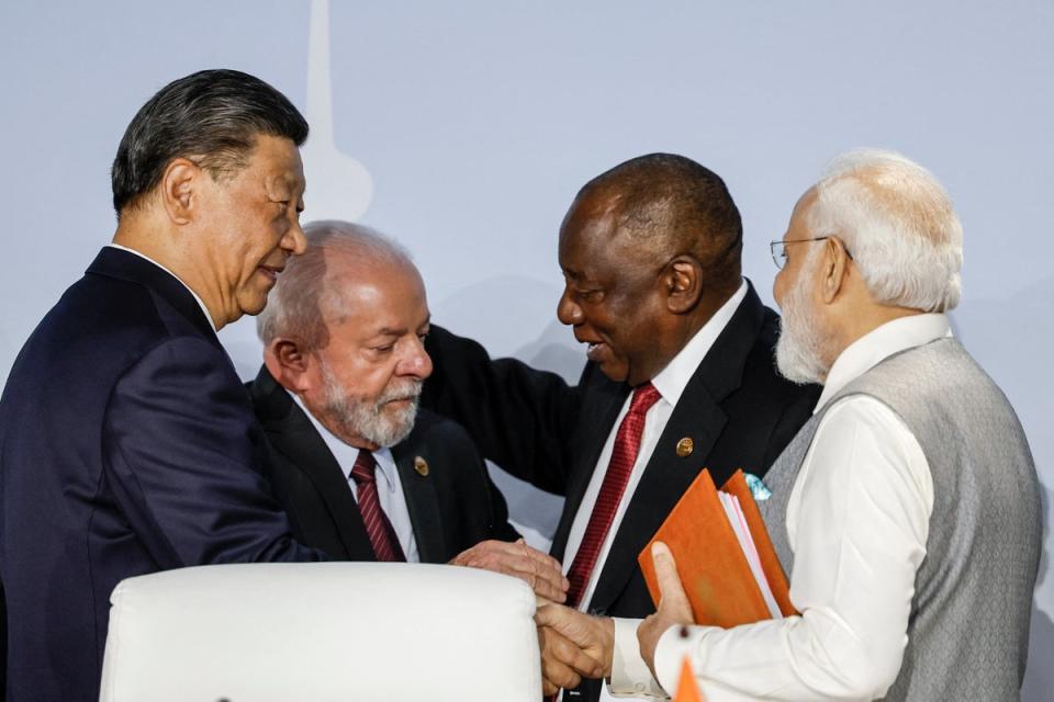
The flare-up comes just days after Mr Xi and Indian prime minister Narendra Modi held an informal meeting during the Brics summit in South Africa and agreed to resolve border tensions.
The meeting descended into a row over which side first urged to meet the other after Beijing said Mr Modi had requested the meeting.
The militaries of the two countries have remained in a standoff in the high-altitude areas of the Himalayas for three years and have amassed troops, weaponry and infrastructure along the border, known as the Line of Actual Control.
The armies, which are not allowed to fire along the border, got into their first fatal confrontation in decades in the Galwan valley area after Indian army soldiers and People Liberation Army troops fought with medieval-era weapons, leading to the death of 20 Indian soldiers and an unconfirmed number of deaths on the Chinese side.
China, has long laid claim on Arunachal Pradesh and has, in three separate instances, “renamed” places in the northeastern Indian state.
Beijing calls the state, which is governed and ruled by Indian government, “Zangnan” or “southern Tibet”. Earlier in April, India sharply rejected China’s release of names for 11 places in Arunachal Pradesh, which was the third such instance, and called them “invented names”.
India also lays claim on the Aksai Chin plateau in the Himalayas, which is controlled by China.

 Yahoo News
