
 Yahoo News
 London Marathon road closures and traffic disruptions for 2024 race
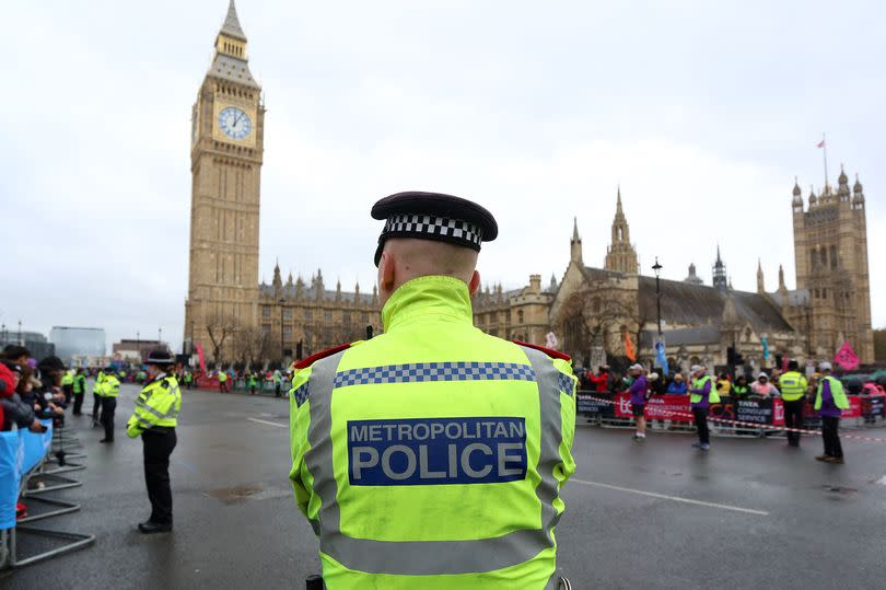
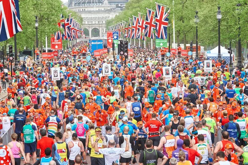
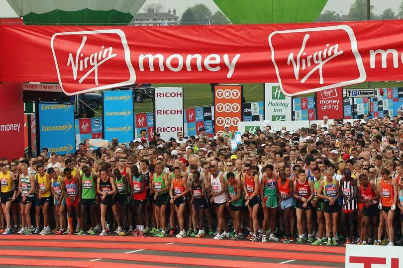
The London Marathon 2024 is set to start in less than a week as 50,000 runners will descend on the capital with road closures in place for their arrival. The London Marathon 2024 is due to start on the morning of Sunday April 21 and will cut across the entire cities, closing many major roads in the process.
There are also 21 crossing points along the course of the races which vehicles can get through. The 26.2 mile course starts in Blackheath and Greenwich Park and passes through Woolwich then back into central London and Canary Wharf before finishing on The Mall in Westminster. We have included almost all of them here but for full list of road closure timetables click here.
There are also parking restrictions along the whole course which could mean your car is towed if it is parked along it at 5am on Sunday 21 April. You can retrieve it by visiting trace.london. Take a look below at which roads will be affected throughout the course.
READ MORE: Easy way to get a free pair of £240 Bose earbuds in time for the London Marathon
Westminster
Westminster will see some of the longest and most extensive closures it being the ending point of the races. The Mall and Marlborough Road will be closed from 5am on Thursday 18 April and reopened 6pm on Monday 22 April.
Spur Road, Constitution Hill, Horseguards Road and Birdcage Walk (eastbound) will all be closed from 6am Friday 19 April and reopened at 6am Monday 22 April. Birdcage Walk will be open for westbound traffic until 7.30am on Saturday 20 April, when it will be closed. It will be reopened at 6am on Monday 22 April.
Click here for more details and the route map in Westcombe Park.
Blackheath
Back at the beginning of the race Blackheath will see more closures than usual due to road works in the area. Southvale Road, Hurren Close, Collins Street, and Baizdon will be closed from 7am to 1pm.
Click here for more details and the route map in Westcombe Park.
Westcombe Park
Right at the start of the race, Charlton Way and Shooters Hill Road will close at 4am on Sunday 21 April while the start area gantry is installed. These roads will be closed on the day at 7am for safety: Shooters Hill Road, St Johns Park, Old Dover Road, Charlton Way, Vanbrugh Park, Charlton Road, Charlton Park Road, Charlton Park Lane and Woolwich Road (A206).
Roads will reopen as soon as it is safe to do so. Roads to the south of Westcombe park are estimated to reopen at around 1pm. In the north where the racers will double back on themselves after running through Woolwich roads are anticipated to reopen at around 3pm.
There will be vehicle crossing points available to use until 8.50am and after 1.30pm a Vanbrugh Hill to Blackwall Lane and Kemsing Road to A102 Blackwall Tunnel Approach.
Click here for more details and the route map in Westcombe Park.
Greenwich
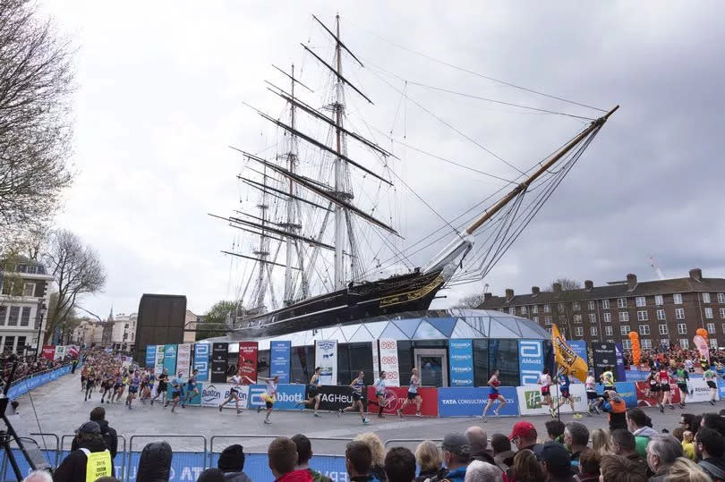
Next the runners will snake through the centre of Greenwich which means Romney Road, King William Walk and Creek Road will be closed from 7am until 3pm on the day of the marathon. If you need to leave the area in avehicle on Sunday 21 April, it's recommended to do so before 7am.
The Greenwich Foot Tunnel will be open south to north throughout the day but it will be busy with queues anticipated. The tunnel will be closed from north to south between 10.30am and 12.30pm. Alternative arrangements are in place on the DLR services from Island Gardens.
there is a vehicle crossing point in Greenwich on Creek Road before 8.50pm. The crossing point will then close to allow the participants to pass. It's anticipated it will reopen at 14:15.
Click here for more details and the route map in Greenwich.
Rotherhithe
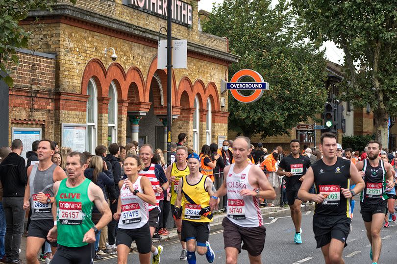
The runners will run a loop around Rotherhithe next and close roads from 8am to 4pm on the day. The course will enter Rotherhithe through Lower Road, go up through Surrey Quays Road, Quebec Way and then onto Salter Road and round the bend into Brunel Road.
Free secure parking is available to local residents at Bacon’s College on Timber Pond Road. It will operate from 4pm on Saturday 20 April until 5pm on Sunday 21 April. Residents can return to the car park at any time to collect their vehicles.
There are two vehicle crossing points in Rotherhithe. The crossings at Plough Way and DealPorters Way will be open until 8.55am and the crossings at Salter Road and Brunel Road will operate until 9.05am. The emergency access gate on South Sea Street will be open to allow entry and exit until 8.55am on Sunday 21 April.
Click here for more details and the route map in Rotherhithe.
Wapping
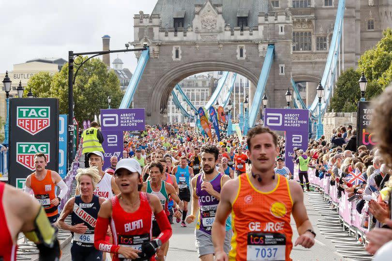
From Rotherhithe, the runners will cross Tower Bridge and enter the city of London. The following roads will be closed as part of the course from 8am until 7pm. Jamaica Road, Tower Bridge and The Highway.
There is a vehicle crossing point in Wapping at the junction of The Highway and Glamis Road, allowing entry and exit north and south. This will be open until 9.15am. It is anticipated it will reopen at 6.15pm.
Residents travelling on foot are advised to use the pedestrian subway at the junction of TheHighway and Glamis Road.
Click here for more details and the route map in Canary Wharf.
Canary Wharf
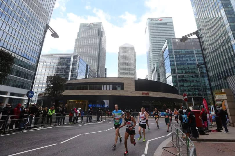
After running around Rotherhithe, across Tower Bridge and through the City of London, the runners will wind into Canary Wharf. The following course will close roads from 8am until 7pm on the day: They will enter from Limehouse, down Westferry Road and then back up into Canary Wharf through Marsh Wall, Heron Quay, up and down South Columnade and North Columnade then back out through Poplar High Street. Then they will go along West India Dock Road and out towards the City of London again on Commercial Road.
Shops and transport links will be open as usual.
Click here for more details and the route map in Canary Wharf.
Isle of Dogs
The runners loop through the Isle of Dogs after zig-zagging through Canary Wharf. Westferry Road will be closed as part of the course from 9am until 4.30pm.
To enter the Isle of Dogs via car you can drive in between 8am to 7pm on Sunday 21 April, please use the A13 East India Dock Road, Leamouth Road to Leamouth Roundabout, and take Blackwall Way to access Prestons Road. Please note: the existing bus-only section of Blackwall Way will be suspended from 8am to 7pm on Sunday 21 April to allow access to the Isle of Dogs.
To exit the Isle of Dogs via car you can do so between 9am and 4.30pm on Sunday 21 April, please use Prestons Road and Cotton Street Roundabout to access Aspen Way eastbound towards Canning Town.
Click here for more details and the route map in Isle of Dogs.
Get the biggest stories from around London straight to your inbox. Sign up to MyLondon's The 12 HERE for the 12 biggest stories each day.

