
 Yahoo News
 Met Office details brutal 33-hour rain onslaught in Gloucestershire following West Country weather warning
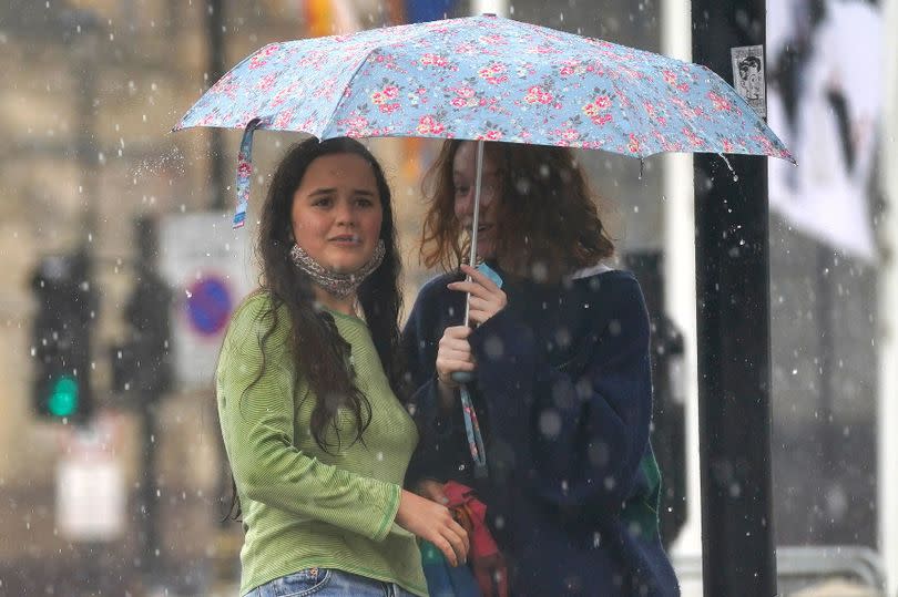
Gloucestershire is bracing for a 33-hour rain deluge from this evening (Tuesday, May 21) until Thursday afternoon after escaping a yellow weather warning in other parts of the West Country today. The Met Office has sounded the thunderstorm alarm in Cornwall, Devon, Dorset and Somerset on Tuesday from noon to 9pm for up to two inches of rain.
In Gloucestershire, it's set to be dry for most of the day. But then the rain taps are forecast to be turned on around 7pm today (May 21) and stay on until around 4am on Thursday (May 23).
Thunderstorms and “intense” downpours are set to hit parts of south-west England and Northern Ireland today (Tuesday). Frequent lightning strikes and hail may also be seen, the Met Office’s yellow thunderstorm warnings say.
READ MORE: Coach gets stuck in road closed off in controversial LTN scheme
READ MORE: Axe, cannabis vapes and knives discovered during shop raid
Forecasters from the Met Office say people should expect possible spray and sudden flooding, which may cause power cuts, transport cancellations and damage to buildings in affected areas on Tuesday. The West Country warning zone does not cover Gloucestershire, but there could be some lighter rain here on Tuesday evening and heavy rain is forecast for Wednesday and into Thursday.
Amy Bokota, a Met Office forecaster, said: “The downpours could be slow moving, and that’s the main trouble, the wind’s quite light at the moment so when they do form, they could be quite slow moving and intense.”
She added: “Where you see them they could be quite intense and dramatic, but not every where’s going to see them and some places just down the road could be completely fine and shower and thunderstorm-free.”
It will come before an area of low pressure approaches the UK from the east on Wednesday, bringing heavy, prolonged rainfall to eastern parts of the country. This could see hours of heavy rain in Gloucestershire.
The rain in Gloucestershire is due to start around 7pm on Tuesday and then continue through Wednesday. Rain will turn heavy by around 1pm on Wednesday and continue to be heavy until around 4am on Thursday.
Friday, Saturday, Sunday and Monday are all looking drier. Temperatures will only rise to around 20C at the weekend.
Met Office West Country forecast
Today: Early low cloud clearing through the morning to leave sunny spells with scattered showers developing into the afternoon, these turning heavy or thundery especially across parts of Devon and Cornwall. Maximum temperature 20 °C.
Tonight: Showers will ease during the evening, with most places becoming dry with clear spells overnight. Some low level cloud developing across parts of Devon and Cornwall later. Minimum temperature 8 °C.
Wednesday: A dry and bright start with any low level cloud soon to break up and clear. Showers once again developing but are expected to be less heavy than today. Maximum temperature 19 °C.
Outlook for Thursday to Saturday: Largely dry and fine on Thursday and Friday with just the odd shower around. Saturday likely to start dry but showery rain is expected to arrive later in the day.
This article was amended to take account of a new weather forecast

