
 Yahoo News
 Met Office issues thunderstorm warning for parts of South West
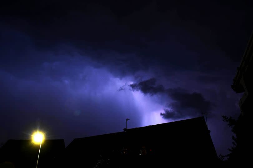
People in parts of the South West are being told to prepare for "thundery downpours" as the Met Office issues a thunderstorm warning. The forecast includes heavy rain that could lead to flooding and lightning strikes, with the alert in place from 2pm until just before midnight on Tuesday, July 9.
The Met Office has advised that there's a "good chance" driving conditions will be impacted by the stormy weather, and some areas might see up to 30mm of rain in a matter of hours.
The warning sees parts of Gloucestershire covered by the weather warning. The regions affected stretch north and east of Gloucester, encompassing parts of Herefordshire, as well as areas across Wales, the Midlands, and the North West. While Somerset is not covered by the warning, more rain is forecast to fall today.
In their statement, the Met Office highlighted: "Heavy showers and thunderstorms are likely to break out this afternoon and move northwards, slowly dying out during the evening and first part of the night. Many places will miss these, but where they do occur, there is the chance of some localised impacts from heavy rain, as well as damage from lightning strikes. 10-20 mm of rain is possible in an hour or so, with some places potentially seeing 30 mm in a few hours."
Weather maps indicate that the heavy rain will sweep in from the south west throughout the afternoon, with predictions suggesting that Gloucestershire will experience the brunt of the weather around 3pm, reports Gloucestershire Live.
This follows a nine-hour weather warning that was in place overnight in the South West, as the Met Office forecasted more rain. What can we expect?
Here's the Met Office forecast for the South West:.
Today.
The day will start unsettled with low pressure bringing spells of rain and drizzle, followed by heavy showers later. It will feel slightly warmer but also humid.
The maximum temperature will be 20 C.
Tonight.
The night will be largely dry though somewhat cloudy. Winds will ease but it will remain breezy around coasts.
It will be mild with temperatures staying in double digits. The minimum temperature will be 13 C.
Wednesday.
The day will start cloudy but brighten up during the afternoon. There is a risk of showers throughout the day and it will turn breezy once again.
It will feel pleasant in the sunshine. The maximum temperature will be 21 C.
Outlook for Thursday to Saturday.
The weather will be largely dry though there may be the occasional shower at times. Winds will be lighter and temperatures will improve slightly so it will feel pleasant in the sunshine.

