
 Yahoo News
 What the Met Office says about reports of UK heatwave
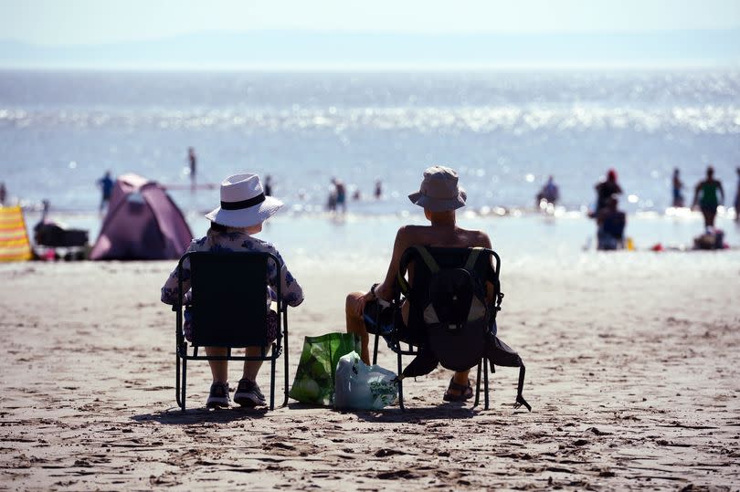
The Met Office has debunked reports of a heatwave hitting the UK in upcoming weeks, saying that while temperatures are currently expected to rise they are still unlikely to be higher than average for the time of year. Amid reports that some parts of the UK will soon see temperatures similar to the end of June where highs of 29°C were recorded, the Met Office has said that is not expected anytime soon.
It was a chilly end to June and start to July after temperatures dropped 10°C in parts of the country immediately after the hottest day of the year in Wales on June 25. So much so, the Met Office confirmed that the average mean temperature for June was 12.9°C, which is 0.4°C below the long-term meteorological average.
Now, the Met Office has confirmed whether the UK can expect to see a return to a hotter climate after some reports of an incoming heatwave to the British Isles. Some news sites have reported that several parts of the UK could see temperatures once again reach 29°C.
READ MORE: Holidaymakers from Wales sleep on football pitch as wildfires rip through Kos
READ MORE: Former head teacher emotionless as he faces fate for sick crimes
The Met Office defines an official heatwave as at least three days where the temperature exceeds a defined temperature threshold, which is 25°C in Wales. Kathryn Chalk, a meteorologist at Met Office, explained that while there are tentative signs that temperatures will rise in the long range forecast, there is currently no indication that these will be of heatwave territory.
She explained that the long range predictions for the UK "shows signs that the forecast is starting to settle down" but that this will primarily be towards the east of the UK, having little impact on Wales. She said that while temperatures are expected to rise, "due to the below average temperatures we are currently seeing this will in fact bring things more in line with the average temperatures that we would expect".
The long range forecast for Wales
Sunday, July 7 to Tuesday, July 16:
"Sunday looks most likely to be a fairly cool and showery day, similar to Saturday although with lighter winds which gives a greater chance for some places to catch a slow-moving heavy downpour. Sunny spells too. Into the following week, further cloud and rain bearing weather systems are likely to move into at least the west of the UK, accompanied by stronger winds at times, continuing the recent changeable theme.
"However, there are tentative signs that further into next week, conditions may begin to gradually turn a bit more settled, at least for a time. This is particularly so across eastern parts, with temperatures more widely trending back up to average and then potentially above average as the week progresses."
Tuesday, July 16 to Tuesday, July 30:
"There has been an emerging trend towards more settled and possibly warmer weather in the run up to this period, which appears to have been brought forward from the middle of the month. This may well continue through to the start of this period with drier conditions a little more likely than normal.
"However, as we go through the rest of the month, the latest information suggests that a return to cooler and more unsettled weather is now slightly favoured. The forecast signals are all rather weak and conflicting, so confidence in a definitive story at this range can be nothing other than very low."

