
 Yahoo News
 Met Office warns 'all the ingredients there' for major weather change next week
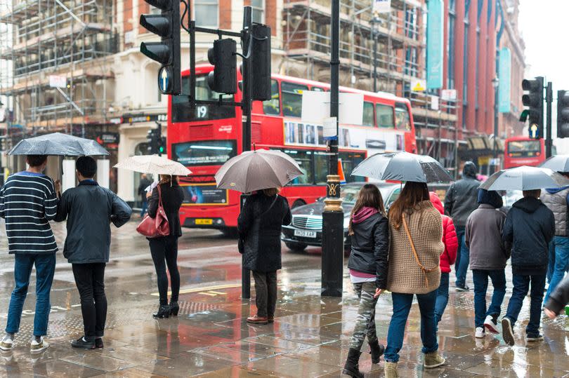
The Met Office has offered its take on the weather in the coming days. The UK has endured a mediocre summer so far, with chilly winds and plenty of rain.
The latest projections suggest something of a change - but not necessarily in the direction many Brits would like. The forecast shows the country hit by yet more frequent showers this week with a deluge of rainfall, according to BirminghamLive.
Met Office meteorologist Aidan McGovern said: "A change in the weather patterns is on the way but I suspect it will be a change which won’t be widely popular. For more than a week we’ve had northerly winds dominating things and brought below average temperatures and frequent showers in a few spots.
“To the west of the Atlantic there’s a branch of a jet stream which over the next 24 hours is going to pick up an area of low pressure and send it towards the UK. It will culminate in a cold front warm front combo bringing persistent rain for a time.
“On Friday we have that low pressure in place over the top of the UK., the jet stream once again to the south of the UK. That means we have an upper level low and a surface area of low pressure coincident with each other . The surface low, the upper low and a strong sun at this time of year, all the ingredients there for rapidly rising air currents, beefy shower clouds and torrential downpours - even some thunderstorms on Friday.
“A lot of showers to come after the band of rain on Thursday. We’re going to see frequent showers across the UK. Temperatures are rising, particularly in the east, with a lot of cloud. One other thing that is going to change over the next few days , as well as increasingly heavy downpours, are the temperatures."
He added: "Some parts of the east of England are more than 6C higher than Wednesday.”

