
 Yahoo News
 Snow and possibility of freezing rain for the UK in what Met Office calls a ‘rare’ weather phenomenon
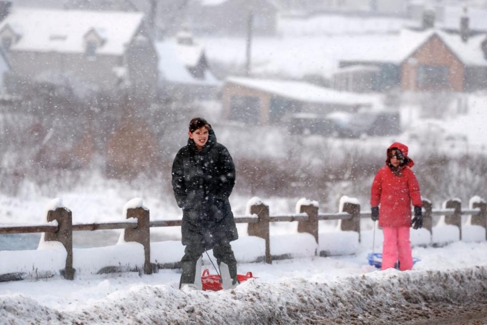
The UK is set for snow and could even be hit by freezing rain in what the Met Office calls a “rare” weather phenomenon.
The forecaster has warned Britons to brace themselves for the likelihood of colder temperatures in the upcoming days, which could drop below freezing in some areas, in unexpected contrast to the recent warmer climes that seemed to be signalling the start of spring.
The Met Office said Scotland can expect the coldest temperatures, as well as rain, sleet and potentially heavy snow over hills on Tuesday.
While 1-3cm of slushy sleet or snow could settle on Scottish roads above 250m by Tuesday morning, up to 5cm of snowfall is possible above 300m and as much as 10cm of snow could fall above 450m in parts of northern and eastern Scotland.
This rain and snow across central and eastern Scotland will turn more showery through Tuesday, according to the forecaster, with the snow on the roads expected to melt later in the morning due to the strength of the sun in late March.
It added that snow is also possible on Wednesday, potentially falling on high ground in Scotland. Meanwhile, most areas will see rain or showers during the day, with the heaviest rain likely in the far north of the UK.
When it comes to temperatures, they are likely to drop close to 0C in the northern half of Scotland, perhaps as low as -4C in some spots, but staying in low single figures further south. Highs of 2-6C will be experienced widely in Scotland on Tuesday, whereas highs of 12-14C will be felt across much of England and Wales.
Ellie Glaisyer, senior operational meteorologist at the Met Office, said there is a “very small possibility” of freezing rain briefly over the hills in Scotland overnight on Monday too.
The Met Office explains the “rare” phenomenon on its website: “Very often, precipitation first falls from a cloud as snow (when it is cold enough high up where the cloud is). If it falls through warmer air before reaching the ground, it can melt and turn to rain droplets.
“On rare occasions, if it then falls through cold air again just before hitting the ground, the droplets can become ‘supercooled’ and this means that they are still falling in liquid form, even though their temperature has fallen below zero. When this ‘supercooled’ droplet hits the ground (which is below zero too) it spreads out a little on landing, and then instantly freezes, encasing the surface in a layer of clear ice. This is why it is called freezing rain.”
Looking ahead to the rest of the weekend and towards the Easter weekend, the Met Office said the UK will see a typical mix of spring weather with periods of showers, rain and winds, as well as some sunny spells at times. Unsettled conditions are the main theme of the forecast through much of the week, with low pressure exerting its influence, bringing periods of rain from the west, some of which could be heavy in nature.
While the forecaster said details are still being worked out ahead of the Easter weekend, Good Friday is likely to see another day of blustery showers, with these being more frequent in the south and west.
Saturday sees a continuation of this showery theme in southern and western areas, though there is an increasing chance of brighter spells further north and east. It will also become less windy, and temperatures should start to trend upwards, feeling quite warm in any sunshine.
The headline of this article was amended on 2 April 2024 to make it clear that freezing rain was just a possibility.

