
 Yahoo News
 Sub-zero nights to come before 'Arctic blast' moves away from UK
Brace yourselves for more sub-zero nights before the freezing 'Arctic air' finally moves away from the UK. Cold and frosty mornings are on the cards this week, with temperatures expected to plummet as low as -3C in parts of the country.
The Met Office has warned that northern England and Scotland could experience these sub-zero temperatures on Wednesday and Thursday night. There's even a chance of snow on higher ground as northerly winds continue to bring chilly nights and below-average daytime temperatures.
Typically, April sees average temperatures of around 14C to 15C across the UK. However, this month has been colder than usual, with temperatures closer to 10C in the southeast of England.
READ MORE:
Arctic vortex to sweep across UK as temperatures plunge by 15C
Temperatures set to sizzle in May as Brits to bask in Bank Holiday heat
But don't worry, the cold Arctic air is set to move away, making way for a warmer spell over the weekend, according to forecasters. However it's not all sunshine and rainbows as the Met Office has also warned of heavy rain and potential thunderstorms in southern areas of the UK over the weekend.
Ellie Glaisyer, a meteorologist at the Met Office, said the chillier temperatures experienced in April were "nothing exceptional" and are expected to move closer to their seasonal averages over the weekend and into the start of next week.
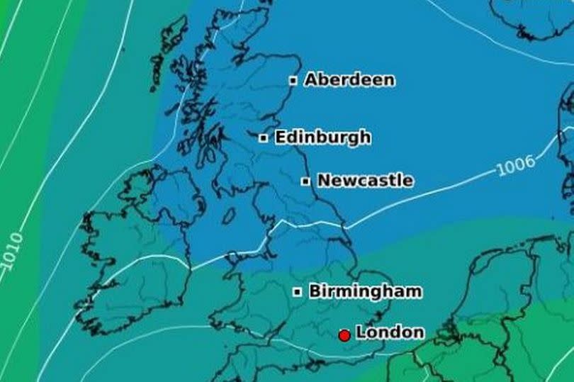
She said that on Wednesday and Thursday night "there will be some frost in places", adding: "The reason for (the low temperatures) is that we've got an area of high pressure out towards the west of the UK and that gives us a northerly wind across the UK. So it's those northerly winds that are bringing us to slightly below-average temperatures, particularly across eastern parts of the UK, as the air is coming from towards the Arctic."
Ms Glaisyer added the colder temperatures are expected to last for the next few days, with areas of eastern England experiencing particularly chilly weather, before temperatures rise over the weekend and possibly even exceed their seasonal averages by one or two degrees in places.
Freezing temperatures expected overnight in Scotland and northern England could possibly extend as far as rural parts of Wales and some parts of central England over the next two days, she added. But the forecaster said the weather conditions were "nothing exceptional, just a little below average for the time of year".
Latest 5-day Met Office forecast for the region
Thursday:
After another chilly start, Thursday will be a mixed day of cloudy periods and sunny spells. Scattered showers developing, these possibly heavy in southern areas. Another cool feeling day. Maximum temperature 10C.
Tonight:
Any showers fading away, leaving some late evening sunshine. Dry overnight with clear periods and turning cold with a slight frost in the countryside and a few fog patches. Minimum temperature 2C.
Friday:
Dry, chilly and mostly sunny to start. Cloud bubbling up with a scattering of showers developing but many places remaining dry. Light winds but still feeling rather cool. Maximum temperature 10C.
Outlook for Saturday to Monday:
Cloudy but mainly dry on Saturday, then breezier on Sunday and wet with heavy rain at times. Drier and brighter on Monday. Rather cool for late April.

