
 Yahoo News
 Surprise snow blast set to hit UK as six cities await freak weather twist
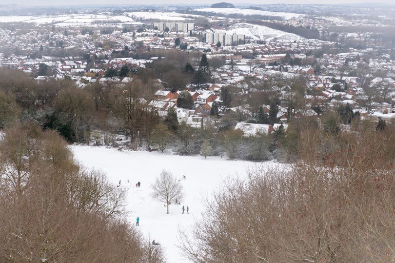
New weather maps forecast that snow is set to hit the UK next week, with up to three centimetres of snow per hour - and the Coventry area may well be hit. Despite the warmer weather, a surprise Arctic blast is set to sweep in for two days next week - as we reported just days ago.
The latest maps from WX Charts indicate snow over hills in Scotland, Wales and northern England on April 25., reports BirminghamLive. They also show it could could also creep towards our area as the wider Birmingham area, Manchester, Cardiff, Luton, London and Southampton are also set to see some of the white stuff.
On Wednesday (April 25) London faces an 18 per cent chance of show and this lowers to ten per cent next Friday, according to Netweather TV. In Luton in Bedfordshire, it has a 48 per cent risk on Wedenesaday with 15 per cent on Friday and in Southampton the risk is at 11 per cent on Friday.
READ MORE: UK to roast in 'glorious' Saharan scorcher with three parts of England hottest
READ MORE: Skincare fans love 'plumping' skincare oil 'that works for everyone' and leaves skin 'glowing'
According to the BBC Weather team "uncertainty" grows next week as a dip in temperatures is on its way. "The next week remains uncertain but there are some signs that high pressure to the west or north of the UK is holding, which could lead to calmer and drier weather, particularly in the north and west," it says.
"Near average temperatures are expected for much of the UK." The team goes on: "The other scenario sees high pressure retreating further west or north-west of the UK, restoring an overall more north-westerly or even northerly flow with changeable and generally cooler weather for a while.
"These conditions are generally more likely for eastern parts of the UK, as trough/low-pressure passages are more likely just further east over the North Sea and the European continent." The Met Office forecast for April 22 to May 1 states: "This will generally be a settled period with high pressure close to the UK throughout.
"Most locations will remain dry, with variable cloud cover. Although some small areas or bands of thicker cloud, hill fog, and patchy light rain or drizzle will float about day to day. There will also be a few showers, most likely in the east and south of England.
"Temperatures will often be around average by day, although with mostly light winds and clear skies it will feel warm in any sunshine. Overnight where cloud breaks allow, frosts are likely in rural areas. As already mentioned, winds will mostly be light, although slightly stronger winds are likely in the far southeast at times."
The Met Office itself has yet to reveal local forecasts for our area next week. Yet it does predict that 'chilly weather' can be expected overnight this weekend.
Sign up for our FREE daily newsletter here for all the latest news about Coventry .

