
 Yahoo News
 UK weather: Bank Holiday scorcher forecast but weekend of Thunder
With the next bank holiday weekend just a week away, Brits could be in for an early summer delight as weather maps indicate a scorching mini-heatwave, with temperatures reaching over 30C in some regions. Moreover, it could span 400 miles across the UK before the month's end.
The southern part of England is predicted to enjoy the most sunshine, with London, Brighton, Crawley in West Sussex, and Canterbury in Kent likely to experience temperatures in the mid-twenties between May 25 and 29, perfectly timed for the extended weekend.
Temperatures in Somerset could peak in the early-twenties. But there is a chance of thunderstorms hitting on Saturday, with the Met Office warning of a 60 per cent chance of thunder at around 2pm on Saturday.
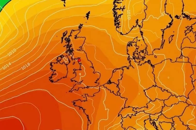
Although the Met Office has refrained from officially declaring a 'heatwave', forecasters have been studying data from a pressure trend chart, which suggests there's a 61 per cent likelihood of high pressure in the UK on Saturday, May 25. These forecasts come just days after similar high pressure led to the UK enjoying temperatures above 24C for at least four consecutive days last week.
While the Met Office's late-May weather forecast doesn't go as far as to announce a heatwave, it does give a bit of mixed bag in terms of conditions. "Overall, one way or another, it looks like remaining fairly unsettled across much of the UK, with further rain, showers, or even thunderstorms in places, though there will be some sunshine between times, the best of this possibly in southwestern parts. Both rainfall amounts and temperatures are likely to be a little above average, but some large spatial differences are likely.", reports Bristol Live.
According to the weather chart, shades of pink and red dominate - with the latter indicating a higher potential of high pressure. From what the current weather model suggests, it seems that Saturday, May 25, is poised to be the day that sees the highest level of sun - however, chances are also high for enjoyable weather just before or after this date.
Despite these predictions, meteorologist Alex Deakin, giving a forecast via the Met Office's Deep Dive video, was apprehensive to make any concrete predictions. According to him, "We can't promise anything. There is not a strong signal, and that is often the case for this time of year, because it is May, because there is not a lot of contrast between the North Pole and the Equator, there is not a lot of power in the jetstream."
"There are hints... hints of high pressure. There are some signs of high pressure but it is far from nailed on. It is weak, it is just slightly more chance than not of high pressure... There has been a bit of chatter about high pressure returning. We can't really talk about that at this stage. There are a few signals at the moment, but pretty weak signals."

