
 Yahoo News
 UK weather: Maps turn red as Saharan plume heads for Britain as temperatures rocket again
After basking in an unexpected "mini-heatwave" over the weekend, Britons are bracing for a dip in temperatures and the return of rain this week. However, it seems the warm spell was just a teaser, as weather maps predict a temperature surge starting May 23, with highs potentially reaching 22C.
The Midlands and North East England are anticipated to enjoy the warmest conditions, with Yorkshire expected to see peaks of 22C. London is also forecasted to hit a high of 22C, while Northern Ireland might experience even warmer temperatures of up to 23C. Weather charts suggest that these balmy temperatures will persist into the weekend, accompanied by plenty of sunshine.
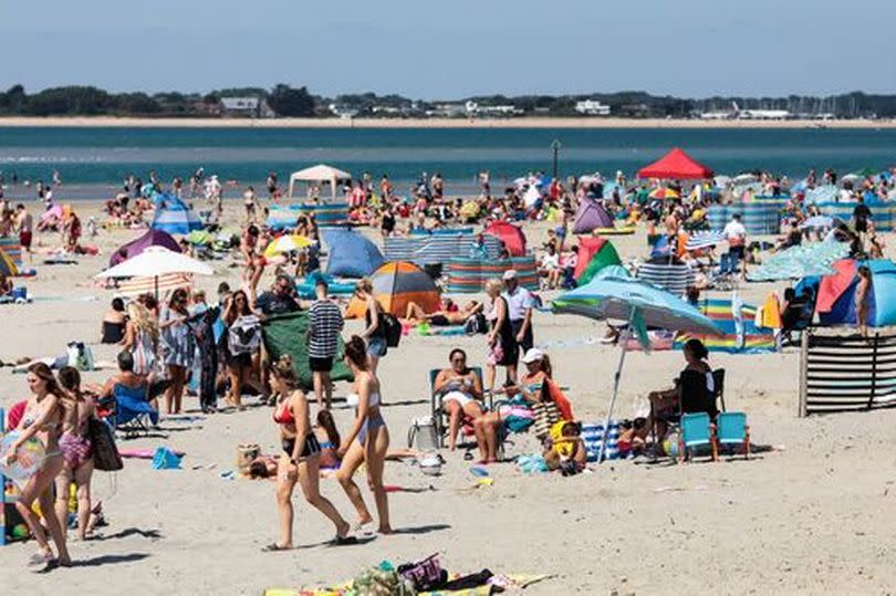
The Met Office's extended forecast indicates that the warmth will continue throughout the week, reports the Express. Over the past weekend, London and Cambridge emerged as some of the hottest spots in the UK, prompting thousands to flock to beaches and parks to revel in the sun.
READ MORE The 8 secondary schools rated 'outstanding' in Leicester and Leicestershire according to Ofsted
Showers are predicted across the week, with the Met Office issuing alerts for potential flooding. Starting Wednesday, "thundery showers" are on the cards, particularly striking on Friday. Despite Sunday's peak temperatures of 26C, London is expected to cool down to lows of 17C this week, with the North of England dropping to around 16C.
Two flood warnings are currently in effect, alongside 45 flood alerts cautioning against possible "travel disruption" in the days ahead.
Met Office long-range forecast
Friday 17 May - Sunday 26 May.
The UK is set for a changeable period with showers developing across the country towards the end of the week and over the weekend. The heaviest downpours and highest risk of thunderstorms are expected in southern parts.
Temperatures will hover around or slightly above average, but light winds will make sunnier areas feel warm. Over the weekend, there are indications that showers may start to ease from the north, with drier, more settled conditions likely becoming established for a time.
Confidence decreases into the following week as signals are unclear about how long the influence of higher pressure will last. After a potentially more settled spell of weather, unsettled conditions are likely to return during the week with the wettest conditions in the west.
Above average temperatures are more probable than below.
Monday 27 May - Monday 10 Jun
Predictions for this period are weak and provide limited guidance beyond climatology. Similar weather conditions to those of the preceding few days are most likely to characterise this period to the end of May; a mix of unsettled periods with rain and showers and settled interludes in-between.
By early June, the chances of above and below average rainfall are evenly balanced. There is a slightly higher likelihood of above average temperatures compared with below average temperatures, meaning the chance of hot spells, although still very small, is slightly higher than normal too.

