
 Yahoo News
 UK weather: Monster thunderstorms to hit after glorious blast of heat
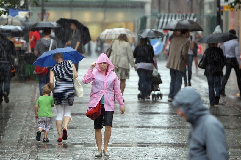
Brits are braced for major thunderstorms after a glorious 23C blast. Large parts of the UK are set to be rocked by monster thunderstorms tomorrow (Thursday, May 16), according to new weather maps.
The Mirror reports parts of Surrey is expected to be hit with more than 25mm of rain - nearly one third of a typical May's precipitation. The bad weather is expected from around 4pm on Thursday, forecasters at InMeteo have warned.
Heavy downpours are also predicted across Kent, with approximately 20mm of rain expected throughout the evening in and around Royal Tunbridge Wells. The storms are expected to be widespread, reaching as far west as Pembrokeshire and as far east as Canterbury, Kent.
Read more:
Weather maps issued by InMeteo indicate that the fiercest storms are anticipated in Surrey, particularly in and around Guildford, from 4pm. Thunderstorms will also be notably active across Wiltshire and Somerset for much of the afternoon tomorrow.
While the thunder and lightning are expected to pass quickly during the early evening, showers will linger across these areas and the rest of the south east throughout the night. The heavy rain is expected to eventually move southwards, and most Brits, especially those in the Midlands and eastern areas, will wake up to fog on Friday (May 17). Once this lifts, an unsettled day with more rain is forecast, particularly across the south again.
The UK is set to bask in glorious sunshine by afternoon, as temperatures soar to 23C in both Moray and the Scottish Highlands. This mini-heatwave appears to be in stark contrast with Moray's average temperature of 14C at this point in the year.

Last week was marked by a similarly sunny period, as temperatures exceeded 24C for four consecutive days, culminating on Saturday when the mercury hit 25.9C in Herstmonceux, East Sussex.
Although much of the UK is set to be hit with thunderstorms, in Devon the sun will return. In Exeter tomorrow, temperatures will reach highs of 16° by 11am. The sun will also heat up the rest of Devon further south as Torbay is expecting highs of 15° with clear and bright skies.
Meteorologist Liam Eslick, associated with the Met Office, said: "So far, May has been a lot warmer than average to start the month and that trend looks likely to continue. This doesn't however mean it will be sunny everywhere like we saw at the weekend."
He warned: "It is likely to bring showers across much of the southern half of the UK with best of the dry weather in the north. Some of these showers will likely be thundery with local variation in rainfall totals.
"The confidence level towards the back end of the month is low however, but it is likely that this unsettled pattern is likely to continue, but temperatures still likely to remain above average for May which is around 15-16C."
South West weather forecast:
Today: Any low cloud breaking to leave another day of sunshine and showers. Showers mostly in the west, tuning heavy at times with the odd rumble of thunder possible. Warm in the sunshine and breezy around coasts. Maximum temperature 18 °C.
Tonight: Showers easing, leaving a dry night with plenty of clear spells where some mist and fog may develop. Cooler under clearer skies though generally another mild night for May. Minimum temperature 9 °C.
Thursday: Any mist or fog clearing in the morning leaving plenty of sunny spells and a scattering of showers, which may turn heavy and possibly thundery. Feeling warm with light winds. Maximum temperature 19 °C.
Outlook for Friday to Sunday: Changeable with sunny spells and scattered showers. Showers may be heavy and thundery at times. Still warm where you catch the sunshine, though with temperatures closer to average.

