
 Yahoo News
 What's Going On With The UK's Bonkers Weather?

Freezing weather conditions have given way to a warmer spell as we start the week, with the temperatures in some part of the country rising by 15ºC in a day.
So what the hell is going on with the UK’s weather?
The coldest week since 2010 was recorded at the University of Reading’s Atmospheric Observatory last week, in which three separate temperatures of more than -5.0 °C were observed.
But temperatures reached 12 °C in the early hours of Monday morning at the site. This represents an “extraordinary rise of almost 20 degrees in a few days”, the University’s Dr Stephen Burt said.
According to Met Office data, the warmer weather is set to continue through to Christmas Day. Dr Burt said the sudden surge in temperatures is down to a change in airmass.
He explained: “Very mild and humid Tropical Maritime air from the region of Madeira transported quickly north and eastwards to our islands because of the development of a major North Atlantic depression over the past couple of days.
“The tropical airmass displaced a cold and dry northerly airflow which persisted over the British Isles for most of last week, and several clear nights allowed widespread severe frost to develop.
“The British Isles often lies on the border between cold, dry Arctic airmasses and those originating from well south of our latitude, and such changes from very cold to very mild, or vice versa, are very much a feature of our winter climate – although not often with the degree or rapidity of the changes experienced within the past 24-36 hours.”
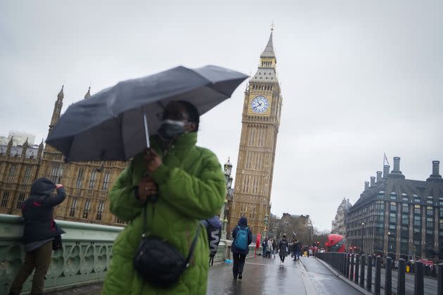
Goodbye snow, hello rain.
He pointed out that the rapid transition will inevitably help people to reduce their energy bills, which will almost certainly be welcomed in the current cost of living crisis.
Dr Burt last week suggested drought restrictions could return next year after a lack of rainfall at the start of the month. However, 14mm of rain has been recorded at the University’s Observatory in the past 24 hours.
He added: “We’ve seen the first significant rainfall of the month. The first half of December was the driest such period on the University’s records, which go back to 1908. The rainfall we’ve received over the past 24 hours represents just over a third of what we should have received by 19 December.”
What does all this say about climate change?
It’s difficult to pinpoint individual events and draw conclusions about climate change, but scientists say the very hot summer coupled with the recent freezing temperatures both show how our weather patterns are changing.
“One of the lovely things about British weather is its variability, due to our location on the edge of an ocean in mid-latitudes,” Professor Joanna Haigh, distinguished research fellow, at Grantham Institute – Climate Change and the Environment, said.
“Under climate change this will continue, with relatively cold and hot spells, but the average temperature will rise.”
Professor Nigel Arnell, professor of climate system science at the University of Reading, added: “We will still get cold weather events in the future even as climate warms – they may become less frequent, but they will still cause disruption when they occur. The challenge is to make sure we remain prepared even as events become less frequent – a reduction in frequency potentially makes them more disruptive when they happen.
“Climate change disrupts circulation patterns, so there is the potential for some types of extreme cold events (“beast from the east”) to become more frequent – although this is speculative. The key point is that higher average temperatures don’t mean that cold events are no longer an issue.”
Related...
Trafalgar Square Fountains Freeze As Blizzard Conditions Hit UK This Weekend
Great Barrier Reef Should Be Listed As ‘In Danger,’ UN Mission Reports
UK's Shocking Role In Pakistan's Climate Crisis, As Explained By An Environmentalist
