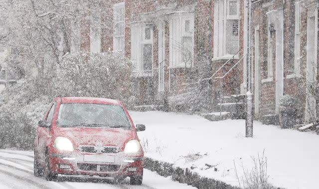
UK weather: New warnings as UK to be hit by snow - temperatures set to plunge as low as -5C

Much of the UK can expect mild weather on Saturday before more wintry conditions bring potential disruption later in the weekend - with the Met Office issuing yellow weather warnings for snow and ice on Sunday and Monday.
There are no warnings in place for Saturday, with forecasters saying the weekend will begin cloudy and cool across much of England and Wales with some occasional breaks of sun, while showers are forecast for Scotland.
The warnings, which warn some travel disruption is likely, cover northern parts of Scotland.
Another warning has been issued for the whole of Northern Ireland on Monday.
The Met Office said some roads and railways are likely to be affected, with some icy patches on untreated roads, pavements and cycle paths.
It warned there may also be some injuries from slips and falls on icy surfaces.
Check the five-day forecast where you are
The warnings for Scotland are active for the whole of Sunday and Monday, while the alert for Northern Ireland is active from 3am until midnight on Monday.
The warning covering Scotland on Monday cautions there will be a small chance of power cuts and warns other services, such as mobile phone coverage, may be affected.
It also says there is a slight chance snow-covered roads would lead to stranded vehicles and passengers, along with delayed or cancelled rail and air travel.
The cold weather is set to continue well into next week and on Wednesday, temperatures in parts of Scotland will be as low as -5C, the Met Office has predicted.
Fort William and the surrounding area will be the coldest region, according to the current forecast, while Edinburgh also looks set to face temperatures as low as -3C.
It looks set to be -1C in Belfast, -2C in Manchester and 0C in Birmingham.
Read more:
Why forecasting snow in the UK is a big challenge
"While the initial snow risk from Sunday onwards is looking most likely to be coastal areas in the north of the UK, including North Sea and Irish Sea coasts, there's an ongoing likelihood of some disruptive snow through the middle to latter part of next week," Met Office deputy chief meteorologist David Hayter said.
"What we're keeping an eye on for this disruptive snow is where exactly this milder air from the southwest bumps into the cold air that will be in place over the UK. It's where these airmasses meet that there's a likelihood of some substantial snow for some places.
"At the moment, models are showing us a variety of options for exactly when and how this situation plays out and it's something we'll be able to add more details to in the coming days."

 Yahoo News
