
 Yahoo News
 Brrr-itish summer: why is it so cold and when will it get warmer?
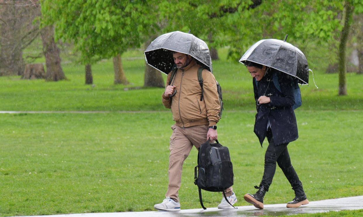
From the water coolers to the WhatsApp groups, the question remains the same: what has happened to the British weather, and is there any sign of summer hiding in the forecasters’ models?
Halfway through an unseasonably cold June, a shift is already under way. But that doesn’t mean it is time to break out the barbie. Having endured chill winds blowing down from the north, the shift in weather will bring warmer, if not quite warm, temperatures, and with it, sporadic downpours and even thunderstorms.
“It feels like quite a contrast from last year when we were all experiencing a heatwave with about 30C temperatures in south-east England,” says Dr Matt Patterson, a climate physicist at the University of Reading. “It’s not like that this year.”
Temperatures this month in celsius terms have been around half those reached in the record-breaking heatwave of last June, and 3C-4C cooler than average for the time of year. It has been an exceptionally wet year, too.
Britain’s weather is largely shaped by the polar front jet stream, a powerful 30,000ft-high air current, hundreds of miles wide, that forms where cold air from the Arctic meets warm air from the tropics. Because the planet spins, the jet stream flows laterally, from west to east, reaching speeds of more than 200mph, and blows weather systems along like swirling eddies in a river.
The jet stream rarely flows in a straight line. “It’s always meandering north or south,” says Tim Woollings, a professor of physical climate science at the University of Oxford. “It happens all the time and gives us weather patterns that vary from week to week.” North of the jet stream the air is colder. To the south – such as the Greek islands – conditions are much warmer. Recently, the jet stream has looped south of the UK, exposing the country to cooler northern air.
“The jet stream has set up this pressure pattern that allows the winds at the surface to come down from the north and bring us the Arctic air,” says Alex Deakin, a meteorologist at the Met Office. “What we’ve had for this week is a high pressure [system] out to the west, where the winds are going round clockwise, and low pressure out to the east, where the winds are going around anticlockwise, and we’re in between the two, and that’s been drawing down the northerly.”
While June has been more about sweaters than sunglasses, it hasn’t actually been exceptionally chilly for the time of year. In Reading, where Patterson lives, the average temperature for the first 10 days of June was 1.6C cooler compared with the previous 30 years. “We only have to look back to 2019 and 2015 when we had similarly cold starts to June,” he says.
The cool start to the meteorological summer may feel more miserable than the figures suggest because people have come to see heatwaves as the norm. Global heating means UK summers are more than a degree warmer than in the 1970s. Until 2003, the hottest day recorded in the UK stood at 38.5C, but that was broken in 2019, with 38.7C, and again in 2022, with 40.3C, followed by the hottest June on record last year. “We’ve seen really quite a rapid change,” says Patterson. “And that means that those slightly cooler-than-average periods now seem to be the unusual ones.”
It is not only the temperature that has been disappointing; Britain has been drenched this year. Meteorologists point to climate change, which allows the atmosphere to carry more moisture and shed it as heavier rains, and El Niño, a climate pattern that produces warmer waters in the eastern Pacific Ocean every few years, as the key factors driving wetter weather in the UK.
And more is on its way. West of Britain, over the Atlantic, the jet stream has picked up another low pressure system to send across the country. These systems have rising air currents, and these can generate beefy rain clouds capable of producing heavy downpours. Deakin says we can expect heavy showers through to Monday, although a shift to westerly winds means it should not be as cold. “The temperatures will be back close to average, so it’ll be warmer, just not warm,” he says.
Is there any sign of summer in scientists’ sophisticated models? Deakin offers one straw the nation may wish to clutch at. A high-pressure system, where descending air makes for cloudless skies and sunshine, lurks over the Azores and may edge towards south-west Britain next week. But it is by no means guaranteed, Deakin says. “There’s no sign of any heat at the moment.”
Whether July and August come to the rescue is also hard to bank on. “There is a hint that July and August will be warmer and drier,” Patterson says, “but it is just a hint. Summer is usually quite difficult to predict.”

