
 Yahoo News
 ‘Disappointing for June’ temperatures to continue across UK
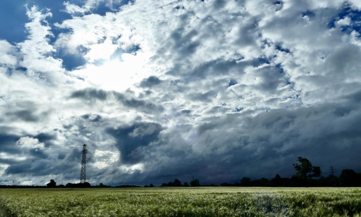
There are tentative signs of high pressure building from the west but cool, wet weather is likely to continue across the UK, forecasters say.
After a cool and windy weekend, Monday and Tuesday will remain cool for the time of year, the Met Office said, although will feel warmer in sheltered sunshine.
Heavier showers on Monday should ease up by Tuesday, and overnight temperatures will be in the single figures with a chance of grass frost in rural areas.
Ellie Glaisyer, a Met Office meteorologist, said the temperatures were “disappointing for June”. The average for this time of year is usually between 13C-16C (55F-61F) in the north and 17C-19C in the south, and temperatures are forecast to be just below this over the next couple of days.
The Met Office said it would remain cool with a mixture of sunny spells and showers this week, with a band of cloud and rain arriving on Thursday.
The long-range forecast from the Met Office is for a mix of sunshine and showers over the weekend, with showers at times becoming heavy and slow moving, with a chance of thunder.
The forecaster said not everywhere would catch a shower and many places may have warm, sunny days with light winds.
It said confidence in its forecast into the following week was low. “There are tentative signs of building high pressure from the west at times, but showers or longer spells of rain are also likely to affect the country, with the eastern half of England and Scotland on balance most likely to experience wetter, or at last more showery weather.”
At midday on Monday there were 11 flood alerts in place from the Environment Agency, mostly covering central England after heavy showers on Monday morning.

