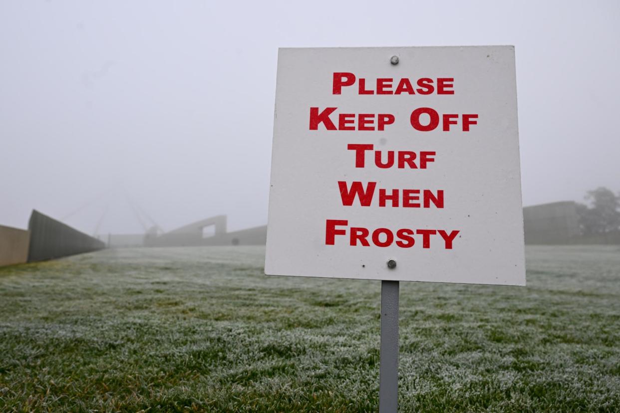
Coldest start to winter in decades in some areas with polar air mass predicted across Australia next week

It has been the coldest start to winter in decades for parts of Queensland, New South Wales and Victoria, and temperatures are expected to remain cooler with a polar air mass predicted to sweep through the entire country in the coming week.
Dean Narramore, a senior meteorologist at the Bureau of Meteorology, said many parts of south-eastern Australia experienced temperatures in the past week between 2C and 5C below average for winter.
Several locations experienced record cold June temperatures, including Thangool and Tambo in Queensland, as well as Omeo, Viewbank and Echuca in Victoria, Narramore said.
Omeo’s -6.4C on Wednesday was its lowest June temperature in 29 years, while Melbourne airport’s 0.2C was its equal coldest June morning in 28 years, according to Ben Domensino, a meteorologist at Weatherzone.
Melbourne and Sydney shivered through their coldest morning of the year on Wednesday, while Thursday morning’s low of -8.3C at Mount Hotham airport was the lowest temperature anywhere in Victoria since 2018, Domensino said.
“South-eastern parts of the country have seen their coldest start to winter for a number of years, probably going back to some time in the teens,” Narramore said. The BoM said it would not have more exact figures until the end of the month.
The colder weather was driven by a low pressure system in the Tasman Sea for the past week combined with a high pressure system in the Great Australian Bight.
“Those two systems together have brought a long period of southerly winds right across southern and eastern Australia, and that’s gone all the way up into northern parts of Queensland last week, and that’s why we’ve seen frost all the way up through Mackay and inland parts of Townsville,” Narramore said.
The low pressure areas over the Tasman brought cool southerly winds up towards eastern Australia and carried showers to eastern Victoria and the NSW coast, including Sydney, Newcastle and Wollongong on Saturday.
Related: ‘Push through the painful bit’: record 3,000 people join nude Dark Mofo swim in Derwent
Frosts were predicted through every state except Western Australia on Sunday morning, including the Alice Springs area and southern Northern Territory, followed by a sunny day for much of the country on Monday, Narramore said.
Another polar outbreak would come next week as cold fronts move through the south-eastern parts of the country from Tuesday through to Thursday, bringing showers, gusty winds and cooler conditions, Narramore said.
The cold front could also bring 10-20cm of snow to much of Victoria and NSW Alpine areas.
Another bigger weather system would move through Western Australia later next week and cross most of the country at the end of next week and into next weekend, he said.
“Early next week, particularly through western and central parts of the country, we’ll see another burst of colder weather [affecting] almost the entire country on Tuesday and Wednesday.”
After the winter solstice on Friday, which was the shortest day of the year in Australia, each day from now until summer will bring more daylight.

 Yahoo News
