
 Yahoo News
 Exact date 'Saharan Plume' to hit as Brits told to prepare for 24C 'heatwave'
UK motorists are being warned to prepare for potential car damage as weather maps predict a scorching 'Saharan Plume' is on its way. After a period of wet and windy weather with mixed temperatures and frequent rain showers, Brits can look forward to a patch of warm weather and sunshine next week.
The mercury is set to rise again from Sunday, May 19, lasting until Tuesday, May 21, bringing balmy weather just in time for the half term. This forecast offers a glimmer of hope for those yearning for a taste of summer after the unpredictable weather experienced so far this week.
As reported by the Manchester Evening News, the best weather is expected to be concentrated in regions such as the Midlands, the North East of England, and Yorkshire, where temperatures could soar up to 23C. However, the South of the country won't miss out on the heatwave with London, the south-east and the south coast potentially experiencing temperatures rocketing up to a blistering 24C on May 26.
Read more:
Netweather predicts highs ranging from 22C to 24C across most of England. For Wales, cooler temperatures are expected but still above 20C in several places with a similar picture reflected in Northern Ireland.
The Met Office has described the weather forecast for the week commencing 19 May through to 28 May as "changeable". Temperatures are expected to be "generally around or just above average."
According to the current weather forecast: "Temperatures will be generally around or just a little above average. With winds tending to be light, it will feel warm in sunnier areas. As we head further into the following week, confidence lowers into the following week. On balance, a continuation of the showers in the south seems most likely, with the north continuing to see the best of any drier weather. Temperatures will probably remain a little above average."
This latest hint of warmer weather comes amid growing speculation of another Saharan plume set to impact the country in the coming days. While many may welcome the return of warmer temperatures, Saharan weather also brings certain risks - for both people and vehicles.
One of the major hazards of a Saharan plume is the dust it carries, which recently wreaked havoc when it hit mainland Europe last month. This natural phenomenon thrilled spectators as it brought hazy skies and vibrant sunsets to many regions, but it also caused air pollution levels to rise to the point where they breached some of the European Union's safety thresholds in several regions - including popular holiday destination Spain.
Residents in the southern and eastern regions of the country have been breathing in air that's four times over the safe limit for PM10 particle contamination, a situation that could be particularly harmful for those with lung conditions such as asthma.
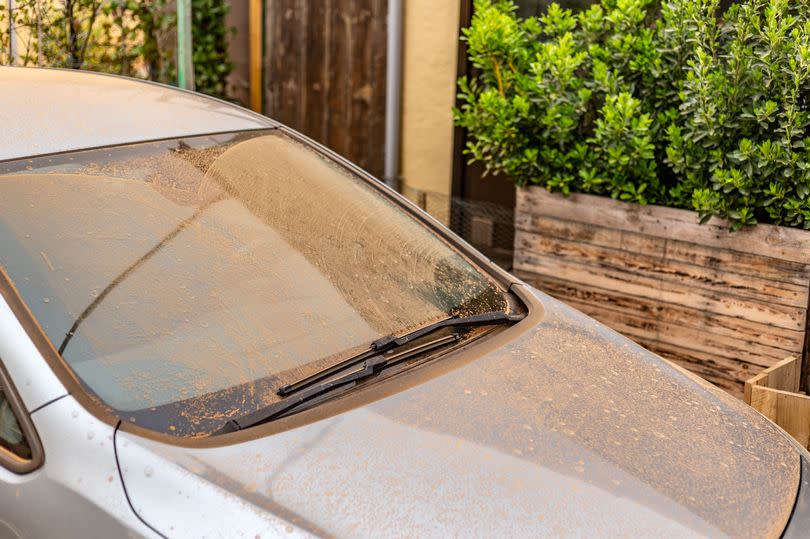
The Saharan dust also presents a risk to vehicles, as the thin layer of dust that often coats cars after weather from the desert can scratch paintwork and windows if not properly removed. To safely remove the dust with minimal damage, drivers are advised not to rub or wipe away the dust, but instead to thoroughly rinse the car first ideally with a pre-wash before soaking in a snow foam soak and thoroughly rinsing.
Met Office 5-day forecast for the South West
Today: Morning fog patches will soon clear to leave bright day with plenty of sunny spells. However, scattered showers will form by the afternoon, some heavy with hail and thunder, especially in the east. A warm and humid day. Maximum temperature 18 °C.
Tonight: Showers fading through the evening. Dry overnight with clear spells. Some fog patches forming as winds will be light. Chilly in the countryside. Minimum temperature 6 °C.
Friday: Any overnight fog and low cloud should clear to leave another day of sunny spells and showers. Some of the showers will be heavy, perhaps with hail and thunder. Warm. Maximum temperature 20 °C.
Outlook for Saturday to Monday: Overnight cloud will give way to sunny spells each day. Staying mostly dry, but the risk of a few showers in places. Feeling warm in the sunshine.

