
 Yahoo News
 When it will get hot again according to the Met Office
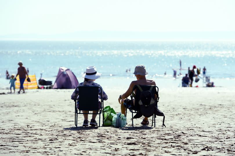
Wales and the rest of the UK saw some glorious weather in May with people enjoying temperatures as hot as Majorca. But, as the saying goes, all good things must come to an end – and that end appears to have coincided with the arrival of June.
Even though we've officially entered the summer months you'll have noticed the weather hasn't quite got the memo. There's been a bit of a chill in the air in recent days and a few showery spells have put a dampener on the fun.
And you're not just imagining it – according to the Met Office the UK average temperature for June so far has been below average thanks to northerly winds. The last time the first 10 days of June was this cold in the UK was in 2020.
READ MORE: Why it is so cold this June and when temperatures will start to rise
READ MORE: Youth falls 130ft off bridge
All the sun-seekers out there are no doubt wondering: when will it get hot again? Well sadly there isn't a scorching summer on the horizon for the UK quite yet, the weather service has revealed.
Met Office meteorologist Alex Deakin has said the next couple of days will stay on the cool side with a possibility of ground frost in rural areas over the coming nights. By Saturday we will see "warmer" temperatures but it will not be "warm", he said. "We're coming from well below average to about somewhere closer to average. There will still be a bit of a chill in the air."
As for rainfall a jet stream funnelling eastwards across the Atlantic will bring a spell of wet weather on Thursday, June 13, in particular. Then low pressure will bring a "lot of showers" across Friday, Saturday and Sunday.

So in the short-term there's no real sign of warmth returning to the UK. But are there any signs of summer beyond that? Not really, according to Alex.
"From Monday , June 17, to Monday, June 24, it's going to be wetter than average for England, Wales, and parts of eastern Scotland and around average for much of western Scotland and Northern Ireland. So that isn't signalling a lot of dry and sunny weather," he said. He added that the temperatures for the same time period are also forecasted to be below average in England, Wales, and Northern Ireland.
What about the final week of June and beyond? There aren't very strong weather signals for that yet – certainly not for anything significantly warm, he said. "That's often the case at this time of year – there's no real global drivers dictating our weather patterns...it is a bit of a toss-up for that final week of June," he explained.
He added we may see high pressure nudging in from the west in the final week of June, which could bring above-average temperatures – but whether that will herald the arrival of summer isn't for certain yet. Rebekah Sherwin, a Met Office deputy chief meteorologist, echoed Alex's forecast.
She said: “The UK average temperature for June so far has been below average and the immediate forecast suggests no strong signal for temperatures to get above average. So far during the month we have been in a weather pattern that has brought a northerly air flow to the UK with high pressure to the west and low pressure over Scandinavia funnelling that flow."
She added: "The UK forecast from Thursday shows a weather front coming in from the west, reaching all parts of the UK during the day. This will be accompanied by windy conditions particularly around western and southwestern coasts. There is a signal for temperatures to come up to near normal levels through the weekend but the forecast into next week remains largely unsettled with showers, some heavy, in places.”

