
 Yahoo News
 Latest on Leeson Road closure as council makes some changes
Changes have been made to the hard closure of Leeson Road, following December's major landslide.
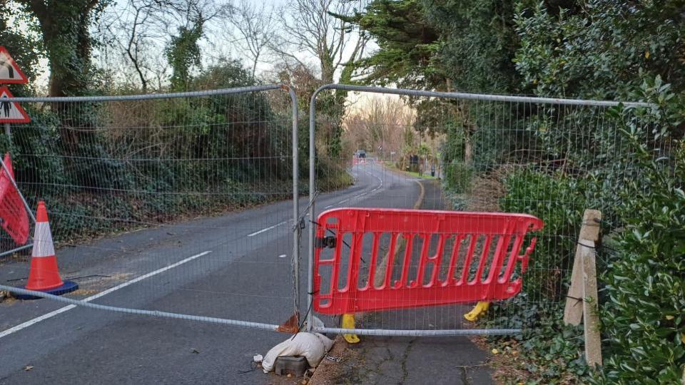
The Isle of Wight Council has moved the barriers on the Shanklin side, to allow access to the downs (via Nansen Hill) and the Bonchurch Landslip car park - from Shanklin.
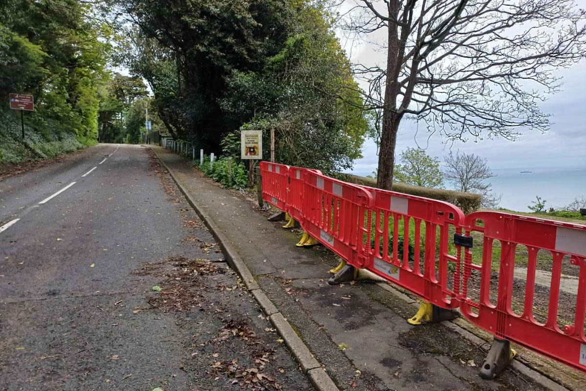
The barriers are now in place from the Ventnor side of the entrance to Bonchurch Landslip car park.
While the hard closure is still in place for pedestrians and vehicles, it does mean walkers can now access the downs from both ends - in theory meaning there is now a walking route between Ventnor and Shanklin, albeit with a significant off-road diversion.
Previous barriers on Leeson Road blocked off the Bonchurch Landslip car park (Image: Isle of Wight County Press)
It means pedestrians can walk up Leeson Road and past the landslip, but they can't walk through to Shanklin on the pavement because the hard closure remains in place further up the road.
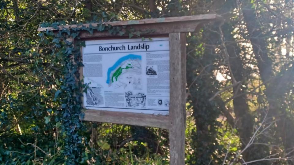
A sign at Bonchurch Landslip car park, showing the geography of the area (Image: Isle of Wight County Press)
An Isle of Wight Council spokesperson explained the changes: ‘’The car park at the far end of Smugglers Haven has been opened and the barriers moved enough to allow walkers access to Nansen Hill and onto the downs.
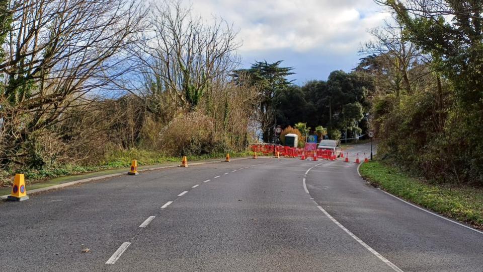
Leeson Road barriers (Image: Isle of Wight County Press)
"This allows the coastal path diversion to come into effect. The car park is not included within the area identified via the independent experts employed by Island Roads as requiring monitoring prior to being reopened.
"The barriers remain on the road as a hard closure to all access, until monitoring equipment evidence confirms that it is safe for Island Roads to open the road.
"The road closure is in effect from the signs lower down Leeson Road, at the junction with Bonchurch Shute.
"Access is provided for residents, utilities, and services such as refuse vehicles, post office and deliveries.
"The Isle of Wight Council would like to remind people to be aware of their surroundings and not put themselves, or others, at risk while they explore areas around the Island.’’
Isle of Wight Ramblers have posted this graphic, showing the routes in the area and the diversion route in purple.

IW Ramblers' map of the area (Image: IW Ramblers)Meanwhile, another meeting is to be held in Ventnor, to update residents on the latest news on the landslide and road closures.
It will be on Tuesday, May 14. More information is to follow.
Monitoring equipment has been installed along Leeson Road, which the council will use to assess whether or not the road can re-open.
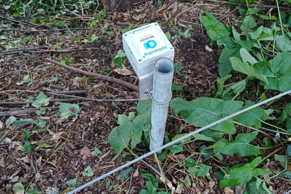
Monitoring equipment on Leeson Road (Image: County Press)

