
 Yahoo News
 Australia’s south-east to endure more wintry weather after Melbourne records coldest day in five years
Wintry conditions across south eastern Australia will continue into the weekend, with rain expected in parts of Victoria, New South Wales, and Western Australia.
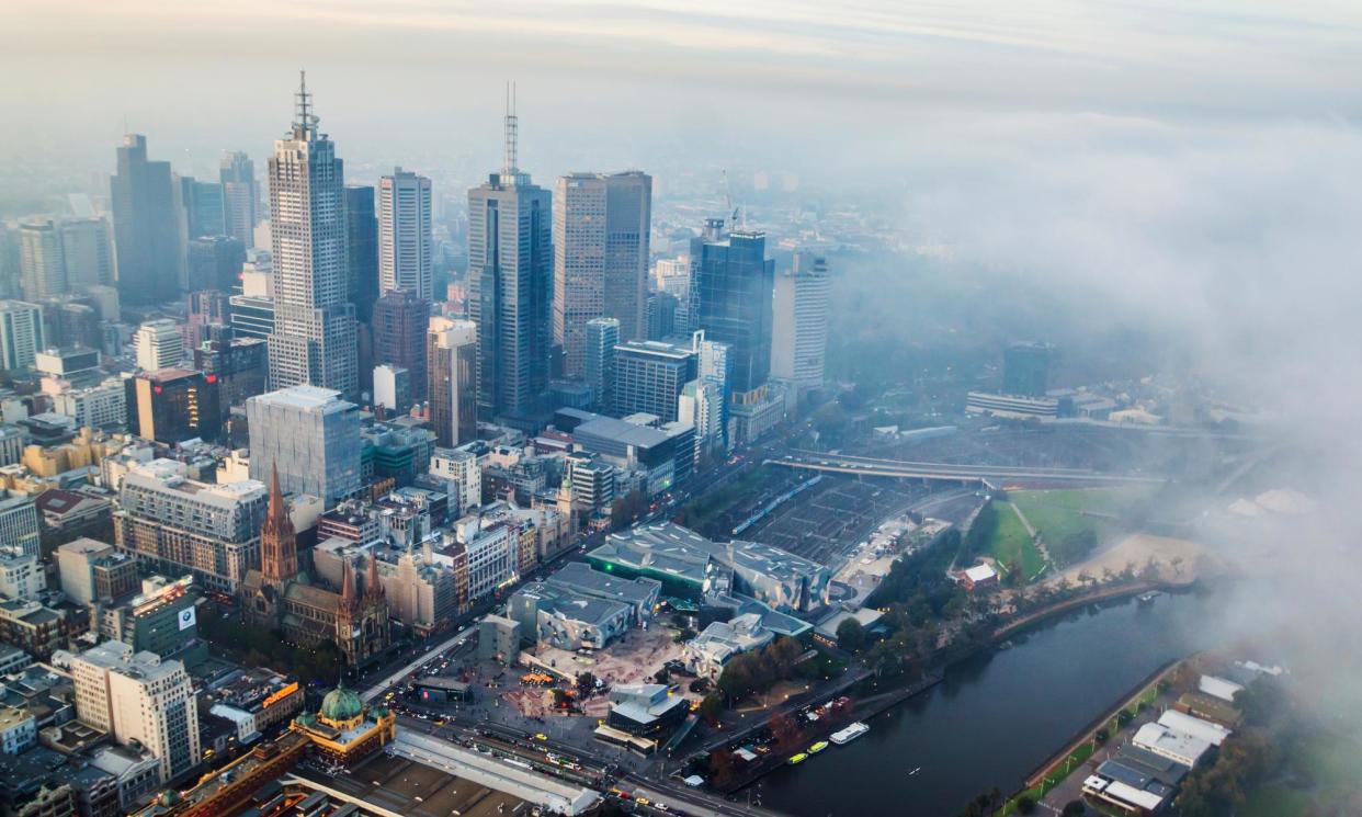
Melbourne recovered slightly from a high of only 10.1C on Thursday, its coldest day in five years, reaching a maximum of 13C on Friday. The Bureau of Meteorology issued a frost warning for Victoria’s north-east and a strong wind warning for the East Gippsland coast.
Sydney’s temperature crept up to 16.7C on Thursday but dipped into single figures overnight. Friday reached a top of 17C with 29mm of rain since 9am.
South Australia received between 10-22mm of rain on Thursday night around Adelaide and the Mount Lofty Ranges, before reaching a maximum of 18C on Friday.
Angus Hines, a senior meteorologist at the Bureau of Meteorology, said the cold weather would be reinforced over the weekend. There will be widespread single digit lows on Saturday across the country similar to Thursday and Friday mornings. In parts of southern Queensland, there will be below average temperatures of 0 or 1C.
Melbourne will see a low of 7C on Saturday, 11C in Sydney and Hobart, and 9C in Adelaide.
He said coastal NSW and the adjacent inland ranges could expect showers over Friday to Saturday morning between 20mm and 40mm, as could the meeting point of Victoria, New South Wales, and South Australia. WA will have wet weather off the south-west coast.
There will be some frost for the south as well as some elevated parts of Queensland and New South Wales, which will become sunny on Sunday. On Sunday there will be a few showers around eastern Victoria and eastern parts of Tasmania, as well as WA.
Hines said the south-eastern areas of Australia, from Tasmania up into Queensland, could expect cold days and frosty nights with below-average temperatures to continue into the coming week as the year’s shortest day, the winter solstice, approaches on 21 June.
“The weather pattern, which is just pumping the cold air across those eastern states, is very stagnant and it’s not set to move for the rest of the week, the weekend and even most of next week,” Hines said.
The cold weather has spread across New South Wales, with Griffith in the Riverina reaching a maximum temperature of only 9.2C on Thursday, its lowest in eight years.
Further south in Hobart, it was 7.6C at 9am on Friday, and expected to reach only 11C.
Canberrans were also rugged up against lows overnight of -0.3C with a maximum of 13C on Friday.
The prolonged stretch of bitter cold is due to a persistent southerly wind flow pulling cold air from the Southern Ocean up and across eastern Australia due to a developing low-pressure area in the Tasman Sea, about halfway between Australia and New Zealand, Hines said.
The low looks set to stay stationary, which means the southerly wind will maintain the flow of cold air from the south for some days to come, prolonging the cold spell.
The bureau’s long-range forecast suggests the rest of winter and early spring are likely to be warmer on average, with unusually warm days and nights more likely. Despite that, there may still be significant outbreaks of cold, Hines said.
The below-average temperatures have followed days of rain and wind across the south-east, with up to 200mm of rain falling in parts of NSW last week and the Warragamba Dam spilling over.
Snow began falling in the alpine regions of Tasmania, Victoria, NSW and the ACT earlier this week, just after the King’s birthday weekend holidaymakers went home disappointed.
There is little snow on the forecast for the coming week due to the lack of precipitation expected, with conditions possibly set to change from Wednesday or Thursday.

